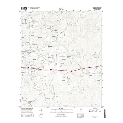
2014 Map of Cottondale
USGS Topo · Published 2014About this map
Tuscaloosa expands eastward in this detailed survey, where suburban developments like Forestasia, Mayfair, and Woodmont meet the winding corridors of Hurricane Creek and Cottondale Cr. The landscape is a mix of established neighborhoods and smaller communities such as Peterson, Fleetwood, and Brookwood. Local history is anchored by numerous small burial grounds, including Ruhama Cem and Bankston Cem, which sit near the northern reaches of the quadrangle.
Find a feature on this map
76 named features on this map. Tap any name to fly to it.
Don’t see what you’re looking for? This feature index may not catch every label — zoom into the map to look around manually.
Map Details
Editions of this 2014 Cottondale Map
This is the sole edition of this map. No revisions or reprints were ever made.
Other maps of this area

1899 · Brookwood
USGS Topo · 1:125,000

1924 · Tuscaloosa
USGS Topo · 1:62,500

1926 · Samantha
USGS Topo · 1:48,000

1926 · Tuscaloosa
USGS Topo · 1:62,500

1928 · Samantha
USGS Topo · 1:62,500

1929 · Searles
USGS Topo · 1:48,000

1931 · Cottondale
USGS Topo · 1:48,000

1934 · Searles
USGS Topo · 1:62,500

1934 · Cottondale
USGS Topo · 1:62,500

1953 · Birmingham
USGS Topo · 1:250,000