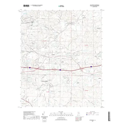
2020 Map of Cottondale
USGS Topo · Published 2020About this map
Tuscaloosa and its eastern suburbs are mapped here during a period of sustained regional growth, characterized by a complex network of reservoirs and suburban expansion. The landscape is defined by its water features, ranging from the large William Bacon Oliver Lake on the Black Warrior River to smaller impoundments like Prudes Mill Pond and Dogwood Lake. The settlement pattern follows the corridor between South Holt and Cottondale, with newer residential developments pressing into the hills near Peterson and Fleetwood. Dozens of local burial grounds, including Ruhama Cem, Chambers Cem, and the unique Cottondale Nature Garden Cem, are preserved among the winding creeks. This topographic study reveals the infrastructure supporting the area, from the Holt Lock and Dam Rd Recreation Area to the industrial outskirts of Brookwood and Coaling.
Find a feature on this map
64 named features on this map. Tap any name to fly to it.
Don’t see what you’re looking for? This feature index may not catch every label — zoom into the map to look around manually.
Map Details
Editions of this 2020 Cottondale Map
This is the sole edition of this map. No revisions or reprints were ever made.
Other maps of this area

1899 · Brookwood
USGS Topo · 1:125,000

1924 · Tuscaloosa
USGS Topo · 1:62,500

1926 · Samantha
USGS Topo · 1:48,000

1926 · Tuscaloosa
USGS Topo · 1:62,500

1928 · Samantha
USGS Topo · 1:62,500

1929 · Searles
USGS Topo · 1:48,000

1931 · Cottondale
USGS Topo · 1:48,000

1934 · Searles
USGS Topo · 1:62,500

1934 · Cottondale
USGS Topo · 1:62,500

1953 · Birmingham
USGS Topo · 1:250,000