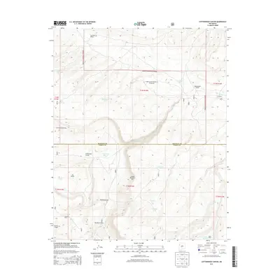
2013 Map of Cottonwood Canyon
USGS Topo · Published 2013About this map
Cibola National Forest encompasses the high country of the Zuni Mountains on this 2013 survey of the New Mexico interior. The Continental Divide traverses the western portion of the quadrangle, serving as the hydrological spine between the dramatic depths of Cottonwood Canyon and the surrounding high valleys. The landscape is defined by its water management history, evidenced by numerous named catchment features such as Bill Morgan Tank and Corral Tanks One and Two, which supported cattle operations in this arid environment. Settlement is concentrated at historic family sites, including Irvin Ranch, Bass Ranch, and Coddington Ranch, located near vital water sources like Twin Springs. The terrain transitions from the sheer Lookout Mountain Rim to the carved drainages of Peavine Canyon and Monighan Canyon, illustrating the complex geological erosion patterns characteristic of the McKinley and Cibola County border region.
Find a feature on this map
32 named features on this map. Tap any name to fly to it.
Don’t see what you’re looking for? This feature index may not catch every label — zoom into the map to look around manually.
Map Details
Editions of this 2013 Cottonwood Canyon Map
This is the sole edition of this map. No revisions or reprints were ever made.
Other maps of this area

1886 · Wingate
USGS Topo · 1:250,000

1892 · Wingate
USGS Topo · 1:250,000

1952 · Post Office Flat
USGS Topo · 1:24,000

1954 · Gallup
USGS Topo · 1:250,000

1958 · Gallup
USGS Topo · 1:250,000

1959 · Gallup
USGS Topo · 1:250,000

1961 · Cottonwood Canyon
USGS Topo · 1:24,000

1962 · Gallup
USGS Topo · 1:250,000

1962 · Ciniza
USGS Topo · 1:24,000

1962 · Continental Divide
USGS Topo · 1:24,000