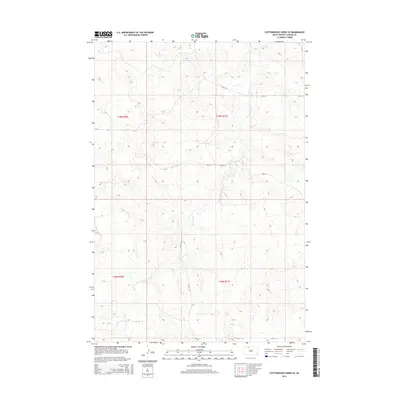
2015 Map of Cottonwood Creek SE
USGS Topo · Published 2015About this map
Cottonwood Cr meanders through this section of the Rock Creek District in Corson County, shaping the drainage patterns across a landscape defined by its rural road network and public land divisions. This 2015 survey documents a sparsely populated area of the Standing Rock Reservation region, where the primary infrastructure consists of section-line roads like 124th St and Cr-25. The map provides a clear look at the intersection of local routes, such as where 227th Ave crosses 126th St, highlighting the remote nature of these High Plains prairie lands. Boundary markers for township and range divisions, including t19n r20e and t18n r21e, are meticulously noted, offering essential data for researchers interested in land tenure and the modern geography of the northern South Dakota borderlands.
Find a feature on this map
10 named features on this map. Tap any name to fly to it.
Don’t see what you’re looking for? This feature index may not catch every label — zoom into the map to look around manually.
Map Details
Editions of this 2015 Cottonwood Creek SE Map
This is the sole edition of this map. No revisions or reprints were ever made.
Other maps of this area

1953 · McIntosh
USGS Topo · 1:250,000

1956 · Black Horse SW
USGS Topo · 1:24,000

1956 · Cottonwood Creek NE
USGS Topo · 1:24,000

1956 · Black Horse
USGS Topo · 1:24,000

1956 · Cottonwood Creek SE
USGS Topo · 1:24,000

1956 · Cottonwood Creek NW
USGS Topo · 1:24,000

1956 · Cottonwood Creek SW
USGS Topo · 1:24,000

1958 · McIntosh
USGS Topo · 1:250,000

1978 · Isabel
USGS Topo · 1:24,000

1980 · McIntosh
USGS Topo · 1:100,000