1978 Map of Isabel
USGS Topo · Published 1979About this map
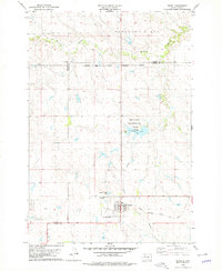
The town of Isabel serves as a central hub on this 1970s landscape, positioned near the intersection of the Standing Rock Indian Reservation and the Cheyenne River Indian Reservation. The community's infrastructure is clearly defined, featuring the Municipal Airport and the Chicago Milwaukee St Paul and Pacific rail line running through the southern reaches of the township. Local history and genealogy interests are anchored by Hillview Cem, located just northwest of the main settlement.
Find a feature on this map
19 named features on this map. Tap any name to fly to it.
Don’t see what you’re looking for? This feature index may not catch every label — zoom into the map to look around manually.
Map Details
Editions of this 1978 Isabel Map
This is the sole edition of this map. No revisions or reprints were ever made.
Other maps of this area

1953 · McIntosh
USGS Topo · 1:250,000
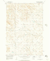
1956 · Black Horse SW
USGS Topo · 1:24,000
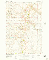
1956 · Black Horse SE
USGS Topo · 1:24,000
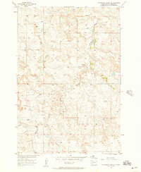
1956 · Cottonwood Creek SE
USGS Topo · 1:24,000

1958 · McIntosh
USGS Topo · 1:250,000

1978 · Isabel SW
USGS Topo · 1:24,000

1978 · Peach Lake
USGS Topo · 1:24,000

1978 · Firesteel
USGS Topo · 1:24,000

1980 · McIntosh
USGS Topo · 1:100,000

1982 · Irish Creek SE
USGS Topo · 1:24,000