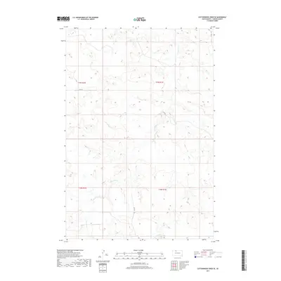
2017 Map of Cottonwood Creek SE
USGS Topo · Published 2017About this map
The Rock Creek District of Corson County reveals its drainage patterns and prairie terrain through the winding course of Cottonwood Cr, which cuts through the landscape across several townships. This area of the Standing Rock Reservation is defined by its Public Land Survey System grid, including boundaries for t19n r20e, t19n r21e, t18n r20e, and t18n r21e. Human infrastructure is sparse, limited primarily to Co RD 25 and a network of secondary local roads that follow the high ground and section lines. The map provides a detailed look at the subtle elevation changes and coulees that characterize this part of South Dakota just north of the Moreau River watershed.
Find a feature on this map
6 named features on this map. Tap any name to fly to it.
Don’t see what you’re looking for? This feature index may not catch every label — zoom into the map to look around manually.
Map Details
Editions of this 2017 Cottonwood Creek SE Map
This is the sole edition of this map. No revisions or reprints were ever made.
Other maps of this area

1953 · McIntosh
USGS Topo · 1:250,000

1956 · Black Horse SW
USGS Topo · 1:24,000

1956 · Cottonwood Creek NE
USGS Topo · 1:24,000

1956 · Black Horse
USGS Topo · 1:24,000

1956 · Cottonwood Creek SE
USGS Topo · 1:24,000

1956 · Cottonwood Creek NW
USGS Topo · 1:24,000

1956 · Cottonwood Creek SW
USGS Topo · 1:24,000

1958 · McIntosh
USGS Topo · 1:250,000

1978 · Isabel
USGS Topo · 1:24,000

1980 · McIntosh
USGS Topo · 1:100,000