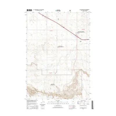
2015 Map of Cottonwood SW
USGS Topo · Published 2015About this map
Minuteman Missile National Historic Site sits at the northern edge of this landscape, marking a significant Cold War-era legacy in the South Dakota plains. To the south, the topography transitions into the dramatic erosional features of Badlands National Park, where landmarks like Cedar Pass and Millard Ridge define the steep breaks above the drainage of Sixteenmile Cr. The settlement of Cactus Flat serves as a small waypoint along Hwy 16, positioned between the expansive Buffalo Gap National Grassland and the rugged park boundaries. The map provides a detailed view of the water system feeding the region, including the winding paths of Big Buffalo Cr and Rakes Cr. These drainages cut through a terrain of high points such as Big Foot Hill, illustrating the isolation and specific land-use patterns of Jackson County's prairie and badlands.
Find a feature on this map
15 named features on this map. Tap any name to fly to it.
Don’t see what you’re looking for? This feature index may not catch every label — zoom into the map to look around manually.
Map Details
Editions of this 2015 Cottonwood SW Map
This is the sole edition of this map. No revisions or reprints were ever made.
Other maps of this area

1950 · Interior
USGS Topo · 1:24,000

1951 · School Section Butte
USGS Topo · 1:24,000

1952 · Conata NE
USGS Topo · 1:24,000

1955 · Hot Springs
USGS Topo · 1:250,000

1955 · Martin
USGS Topo · 1:250,000

1958 · Martin
USGS Topo · 1:250,000

1960 · Wall SE
USGS Topo · 1:24,000

1960 · Cottonwood SW
USGS Topo · 1:24,000

1961 · Cottonwood
USGS Topo · 1:24,000

1961 · Cottonwood NE
USGS Topo · 1:24,000