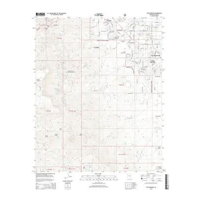
2014 Map of Cottonwood
USGS Topo · Published 2014About this map
Jerome and Clarkdale anchor the western edge of this 2014 survey, where the descent from the Black Hills meets the Verde Valley. The map documents the intricate residential networks of Cottonwood, Clemenceau, and the expansive Verde Village, illustrating the modern footprint of these historic Copper Country settlements. The transition from industrial and urban centers to the protected wilderness of the Prescott National Forest is clearly defined, with steep drainage systems like Hull Canyon and Deception Gulch cutting through the high terrain.
Find a feature on this map
132 named features on this map. Tap any name to fly to it.
Don’t see what you’re looking for? This feature index may not catch every label — zoom into the map to look around manually.
Map Details
Editions of this 2014 Cottonwood Map
This is the sole edition of this map. No revisions or reprints were ever made.
Other maps of this area

1887 · Verde
USGS Topo · 1:250,000

1887 · Prescott
USGS Topo · 1:250,000

1892 · Verde
USGS Topo · 1:250,000

1892 · Prescott
USGS Topo · 1:250,000

1905 · Jerome
USGS Topo · 1:125,000

1923 · Camp Verde
USGS Topo · 1:125,000

1932 · Camp Verde
USGS Topo · 1:125,000

1936 · Camp Verde
USGS Topo · 1:125,000

1944 · Clarkdale
USGS Topo · 1:48,000

1944 · Mingus Mountain
USGS Topo · 1:62,500