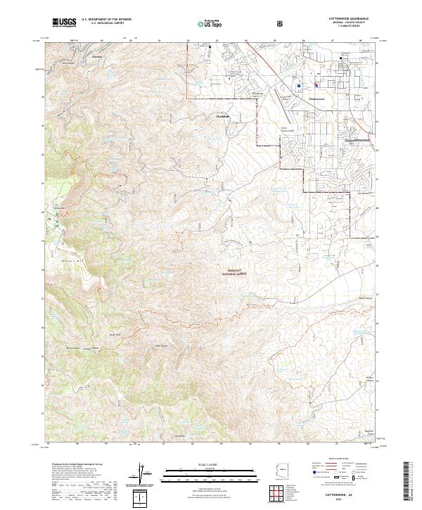
2021 Map of Cottonwood
USGS Topo · Published 2021About this map
Jerome and Clarkdale anchor the northwestern corner of this study, illustrating the complex settlement patterns of the Verde Valley. The landscape transitions from the dense urban grids of Cottonwood and the historic company town site of Clemenceau into the sprawling reaches of the Prescott National Forest. This 2021 mapping highlights the vital water infrastructure of the region, including the Cottonwood Ditch and a network of named springs such as Haskell Spring and Copper Chief Spring, which have long sustained life in these arid hills.
Find a feature on this map
90 named features on this map. Tap any name to fly to it.
Don’t see what you’re looking for? This feature index may not catch every label — zoom into the map to look around manually.
Map Details
Editions of this 2021 Cottonwood Map
This is the sole edition of this map. No revisions or reprints were ever made.
Other maps of this area

1887 · Verde
USGS Topo · 1:250,000

1887 · Prescott
USGS Topo · 1:250,000

1892 · Verde
USGS Topo · 1:250,000

1892 · Prescott
USGS Topo · 1:250,000

1905 · Jerome
USGS Topo · 1:125,000

1923 · Camp Verde
USGS Topo · 1:125,000

1932 · Camp Verde
USGS Topo · 1:125,000

1936 · Camp Verde
USGS Topo · 1:125,000

1944 · Clarkdale
USGS Topo · 1:48,000

1944 · Mingus Mountain
USGS Topo · 1:62,500