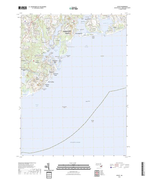
2024 Map of Cotuit
USGS Topo · Published 2024About this map
The Mashpee National Wildlife Refuge anchors the western side of this coastal landscape, protecting a network of freshwater and estuarine environments including Mashpee River and Ockway Bay. The eastern half of the map is dominated by the sophisticated waterfront layouts of Cotuit, Wianno, and the private estates of Oyster Harbors on Grand Island.
Find a feature on this map
88 named features on this map. Tap any name to fly to it.
Don’t see what you’re looking for? This feature index may not catch every label — zoom into the map to look around manually.
Map Details
Editions of this 2024 Cotuit Map
This is the sole edition of this map. No revisions or reprints were ever made.
Other maps of this area

1886 · Falmouth
USGS Topo · 1:62,500

1887 · Muskeget
USGS Topo · 1:62,500

1887 · Marthas Vineyard
USGS Topo · 1:62,500

1888 · Barnstable
USGS Topo · 1:62,500

1888 · Falmouth
USGS Topo · 1:62,500

1889 · Muskeget
USGS Topo · 1:62,500

1889 · Marthas Vineyard
USGS Topo · 1:62,500

1893 · Muskeget
USGS Topo · 1:62,500

1893 · Barnstable
USGS Topo · 1:62,500

1893 · Falmouth
USGS Topo · 1:62,500