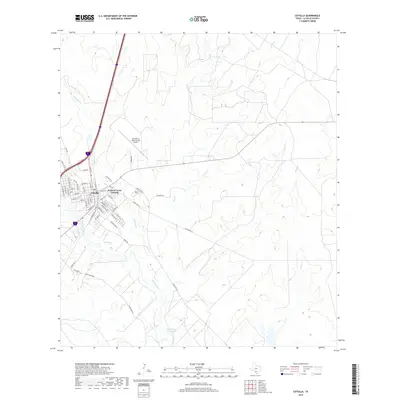
2019 Map of Cotulla
USGS Topo · Published 2019About this map
The city of Cotulla serves as the focal point of this South Texas landscape, where the urban grid of the county seat meets the meandering path of the Nueces River. This 2019 survey captures the modern layout of the community, including the residential patterns of Zamora Acres Colonia and the infrastructure supporting the Cotulla-La Salle County Airport. The settlement's streets, such as N Main St, Tilden St, and FM 468, reflect the organized growth of this hub as it interfaces with the agricultural and ranching lands that dominate the surrounding territory.
Find a feature on this map
57 named features on this map. Tap any name to fly to it.
Don’t see what you’re looking for? This feature index may not catch every label — zoom into the map to look around manually.
Map Details
Editions of this 2019 Cotulla Map
This is the sole edition of this map. No revisions or reprints were ever made.
Other maps of this area

1927 · Bart
USGS Topo · 1:62,500

1929 · Cotulla
USGS Topo · 1:125,000

1940 · Cotulla
USGS Topo · 1:62,500

1940 · Artesia Wells
USGS Topo · 1:62,500

1942 · Dilley
USGS Topo · 1:62,500

1953 · Crystal City
USGS Topo · 1:250,000

1955 · Crystal City
USGS Topo · 1:250,000

1956 · Woodward
USGS Topo · 1:62,500

1961 · Crystal City
USGS Topo · 1:250,000

1968 · Crystal City
USGS Topo · 1:250,000