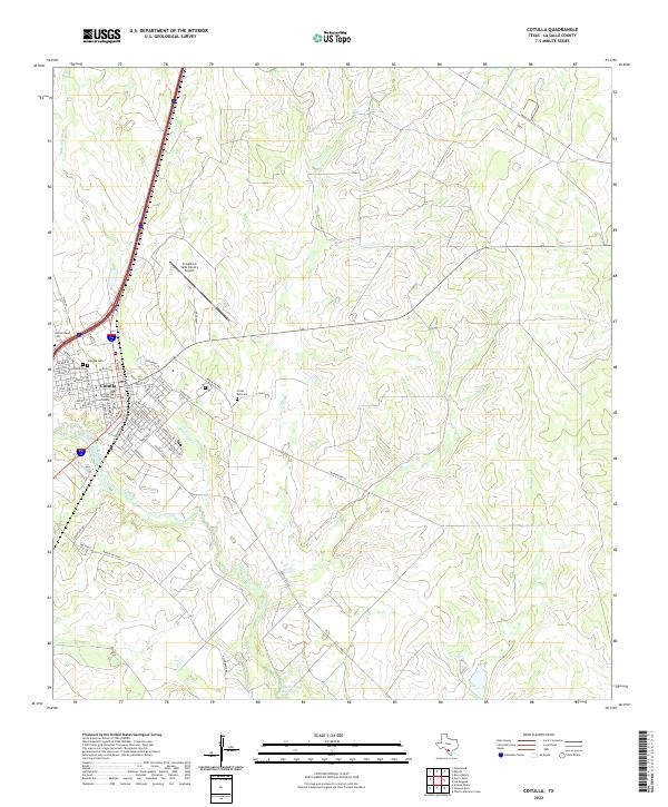
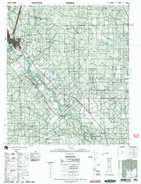
2022 Map of Cotulla
USGS Topo · Published 2022About this map
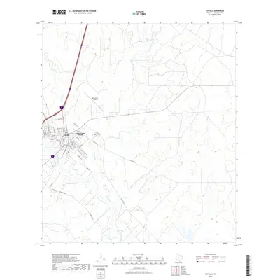
The Nueces River winds through this South Texas landscape, anchoring the city of Cotulla and the surrounding ranchlands of La Salle County. In the early 21st century, the town's layout remains centered on the La Salle County Courthouse, with a grid of streets named for Texas historical figures and local flora like Pecos St and Houston St. This survey captures the town's role as a regional hub, reflected in its concentrated burial grounds such as Antigua Cem, Cotulla Cem, and Sacred Heart Cem.
Find a feature on this map
58 named features on this map. Tap any name to fly to it.
Don’t see what you’re looking for? This feature index may not catch every label — zoom into the map to look around manually.
Map Details
Editions of this 2022 Cotulla Map
This is the sole edition of this map. No revisions or reprints were ever made.
Historical Maps of Cotulla Through Time
10 maps found

1929 Cotulla
La Salle County, TX
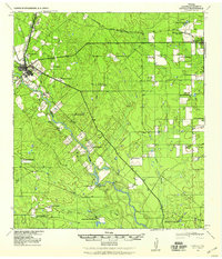
1940 Cotulla
La Salle County, TX
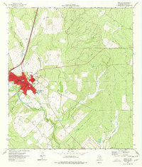
1974 Cotulla
La Salle County, TX
1985 Cotulla
La Salle County, TX
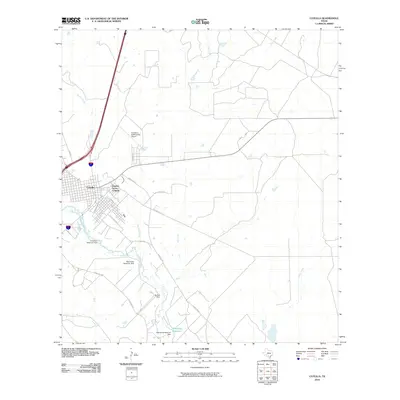
2002 Cotulla
La Salle County, TX
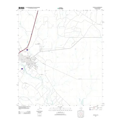
2010 Cotulla
La Salle County, TX
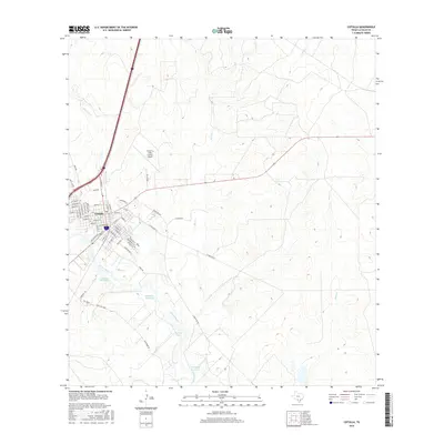
2013 Cotulla
La Salle County, TX
2016 Cotulla
La Salle County, TX
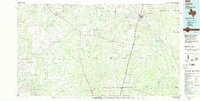
2019 Cotulla
La Salle County, TX
2022 Cotulla
La Salle County, TX