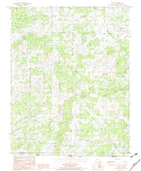
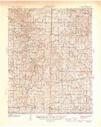
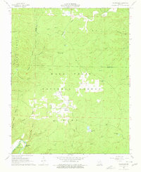
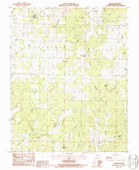
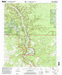
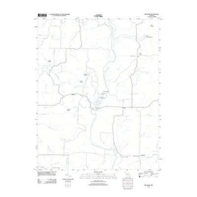
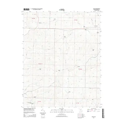
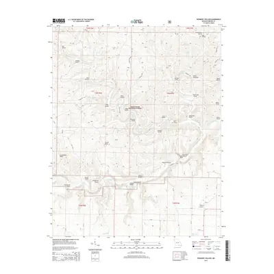
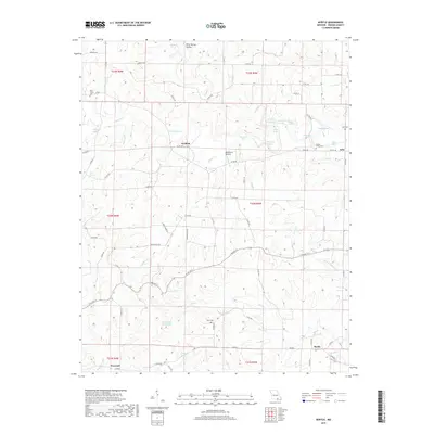
1982 Map of Couch
USGS Topo · Published 1983About this map
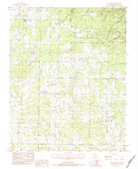
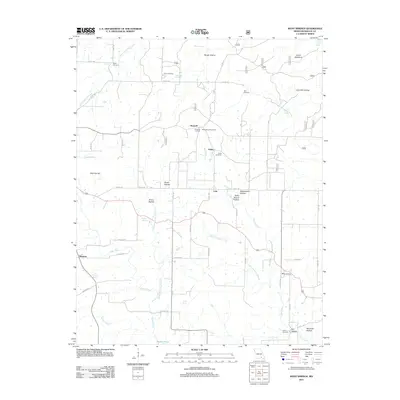
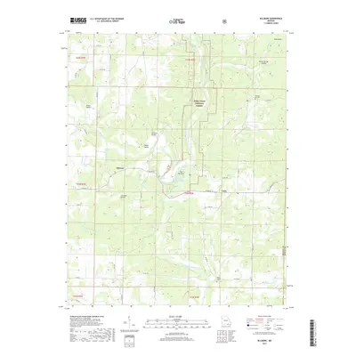
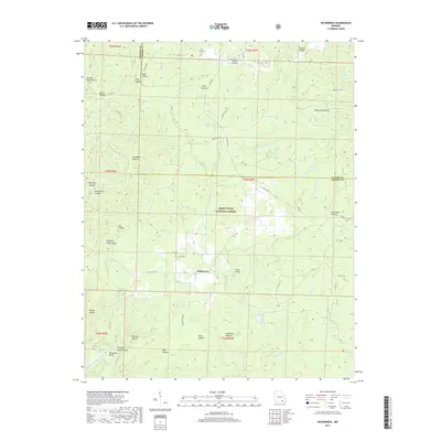
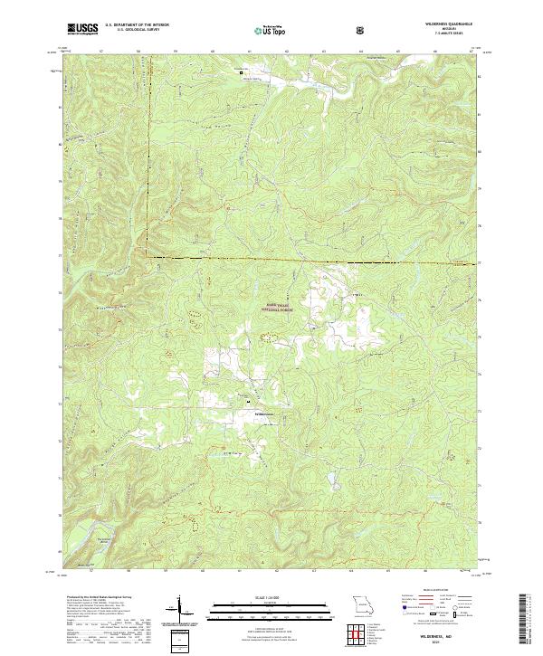
Couch serves as the primary focal point of this Ozark landscape, situated just north of the border where Oregon County meets Arkansas. The settlement patterns of the early 1980s are defined by a network of rural churches and remote hollows, reflecting a long-standing community structure centered around small congregations like Norman Ch, Grave Couch Ch, and Rose Hill Ch. The topography is heavily dissected by narrow drainage systems such as Frederick Creek and Cox Creek, with numerous named hollows like Watered Hollow and Fraley Hollow providing clues to local geography and family land use. Water sources are abundant, with Duncan Spring and Eldorado Spring marking significant points in the terrain. The presence of Hogpen Ridge and the Lookout Tower near the center of the sheet highlights the elevation changes characteristic of the region.
Find a feature on this map
37 named features on this map. Tap any name to fly to it.
Don’t see what you’re looking for? This feature index may not catch every label — zoom into the map to look around manually.
Map Details
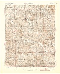
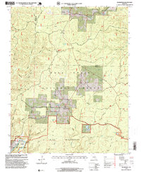
Editions of this 1982 Couch Map
This is the sole edition of this map. No revisions or reprints were ever made.
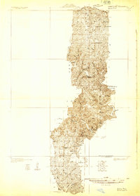
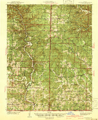
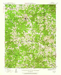
Historical Maps of Corona Through Time
59 maps found
1931 Bandyville
Oregon County, MO
1941 Gatewood
Oregon County, MO
1944 Couch
Oregon County, MO
1945 Gatewood
Oregon County, MO
1946 Couch
Oregon County, MO
1965 Riverton
Oregon County, MO
1966 Billmore
Oregon County, MO
1968 Wilderness
Oregon County, MO
1976 Thayer SE
Oregon County, MO
1982 Couch
Oregon County, MO
1982 Piedmont Hollow
Oregon County, MO
1983 Greer
Oregon County, MO
1983 Many Springs
Oregon County, MO
1984 Couch
Oregon County, MO
1984 Myrtle
Oregon County, MO
1984 Piedmont Hollow
Oregon County, MO
1986 Rover
Oregon County, MO
1997 Billmore
Oregon County, MO
1997 Greer
Oregon County, MO
1997 Many Springs
Oregon County, MO

1997 Piedmont Hollow
Oregon County, MO
1997 Riverton
Oregon County, MO
1997 Wilderness
Oregon County, MO
2011 Couch
Oregon County, MO
2011 Greer
Oregon County, MO
2011 Many Springs
Oregon County, MO
2011 Myrtle
Oregon County, MO
2011 Riverton
Oregon County, MO
2011 Rover
Oregon County, MO
2012 Billmore
Oregon County, MO
2012 Piedmont Hollow
Oregon County, MO
2012 Wilderness
Oregon County, MO
2015 Billmore
Oregon County, MO
2015 Couch
Oregon County, MO
2015 Greer
Oregon County, MO
2015 Many Springs
Oregon County, MO
2015 Myrtle
Oregon County, MO
2015 Piedmont Hollow
Oregon County, MO
2015 Riverton
Oregon County, MO
2015 Rover
Oregon County, MO
2015 Wilderness
Oregon County, MO
2017 Billmore
Oregon County, MO
2017 Couch
Oregon County, MO
2017 Greer
Oregon County, MO
2017 Many Springs
Oregon County, MO
2017 Myrtle
Oregon County, MO
2017 Piedmont Hollow
Oregon County, MO
2017 Riverton
Oregon County, MO
2017 Rover
Oregon County, MO
2017 Wilderness
Oregon County, MO
2021 Billmore
Oregon County, MO

2021 Couch
Oregon County, MO
2021 Greer
Oregon County, MO
2021 Many Springs
Oregon County, MO
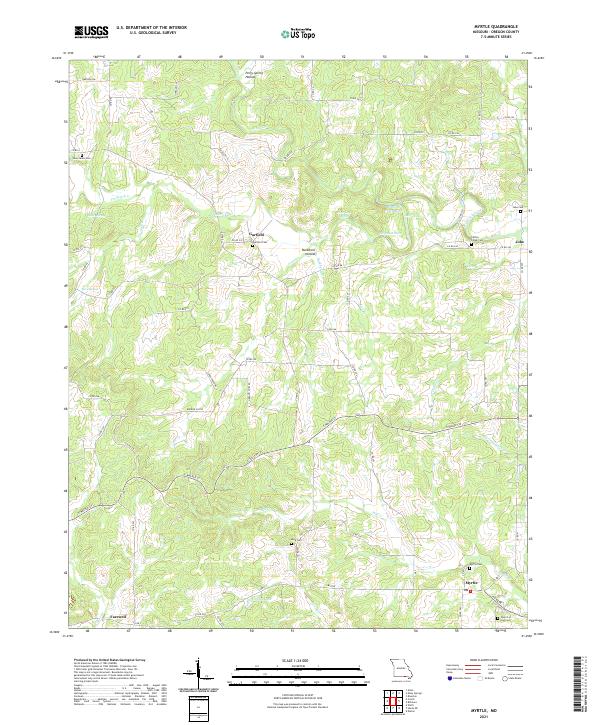
2021 Myrtle
Oregon County, MO
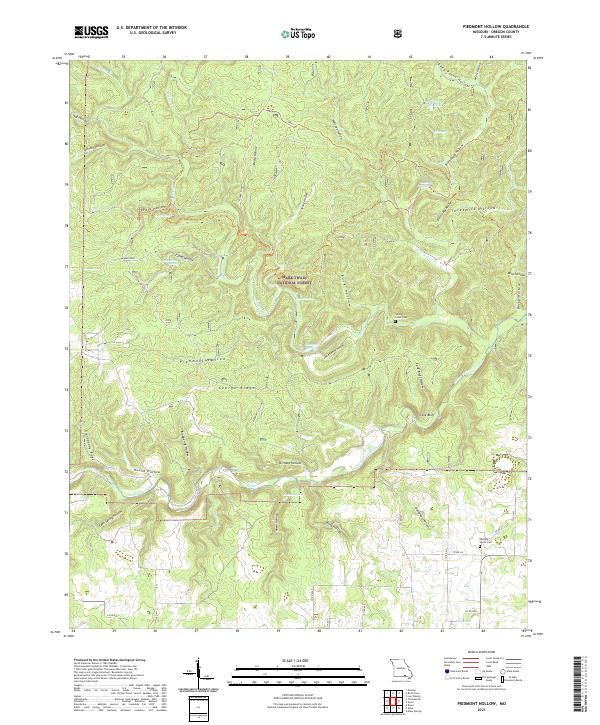
2021 Piedmont Hollow
Oregon County, MO
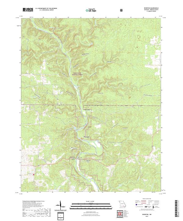
2021 Riverton
Oregon County, MO
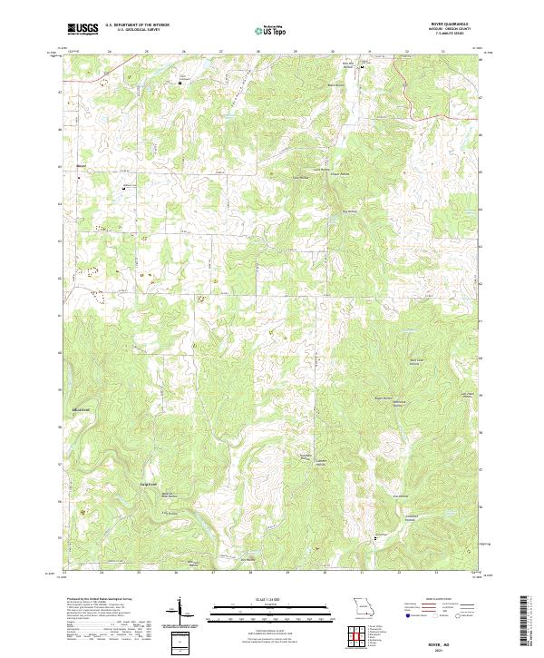
2021 Rover
Oregon County, MO
2021 Wilderness
Oregon County, MO