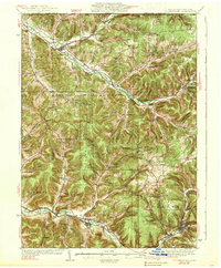
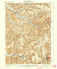
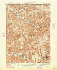
1938 Map of Coudersport
USGS Topo · Published 1938About this map
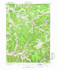
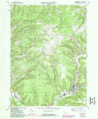
Coudersport serves as the focal point for this Potter County landscape, where the Allegheny River begins its course through a network of steep-sided hollows and wooded ridges. During the 1930s, the region was characterized by small, dispersed valley settlements like Shingle House and Roulette, connected by the New York and Pennsylvania railroad line that traces the Oswayo Creek and river valleys. The map reveals a high density of rural schools, such as Plank Road Sch and Cow Run Sch, reflecting a time when isolated hill communities like Hebron Center maintained their own local educational infrastructure.
Find a feature on this map
84 named features on this map. Tap any name to fly to it.
Don’t see what you’re looking for? This feature index may not catch every label — zoom into the map to look around manually.
Map Details
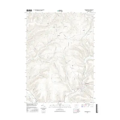
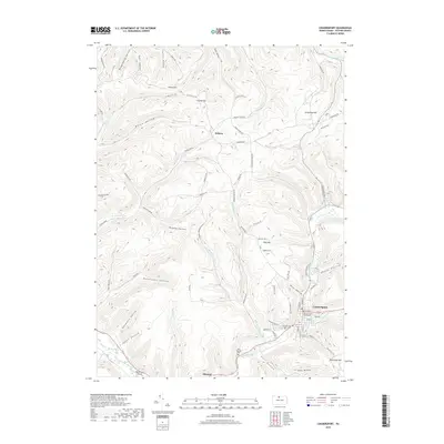
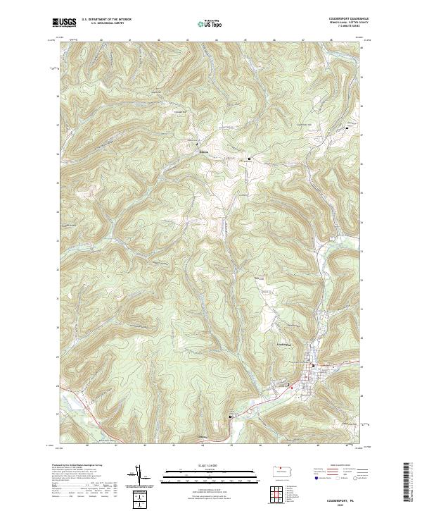
Editions of this 1938 Coudersport Map
3 editions found
Historical Maps of Bolivar Through Time
8 maps found