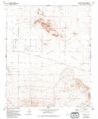
1971 Map of Cougar Buttes
USGS Topo · Published 1994About this map
Lucerne Valley is defined by its stark geological formations and a unique astronomical-themed road network during the early 1970s. The northern portion of the landscape is dominated by the prominent Cougar Buttes and Negro Butte, where several quarries and a Prospect suggest mineral exploration in the high desert. To the west, a grid of residential and agricultural development emerges, featuring curious street names such as Mercury Road, Venus Road, Planet Road, and Stellar Road, reflecting a specific era of suburban planning. This survey, compiled from 1969 aerial photography, documents a period of growth that included the establishment of a Mobile Home Park along the primary East-West thoroughfare. In the southeast corner, the historical footprint of mining is evident at the Silver Reef Mine, situated among the desert foothills near the San Bernardino County line.
Find a feature on this map
24 named features on this map. Tap any name to fly to it.
Don’t see what you’re looking for? This feature index may not catch every label — zoom into the map to look around manually.
Map Details
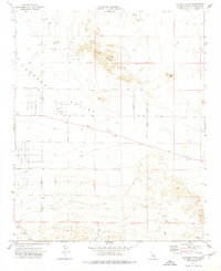
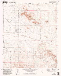
Editions of this 1971 Cougar Buttes Map
3 editions found
Other maps of this area

1901 · Southern California Sheet No. 1
USGS Topo · 1:250,000

1902 · San Gorgonio
USGS Topo · 1:125,000

1904 · Southern California Sheet No. 1
USGS Topo · 1:250,000

1947 · Lucerne Valley
USGS Topo · 1:62,500

1949 · Lucerne Valley
USGS Topo · 1:62,500

1953 · San Bernardino
USGS Topo · 1:250,000

1955 · Old Woman Springs
USGS Topo · 1:62,500

1955 · Ord Mountains
USGS Topo · 1:62,500

1955 · Rodman Mountains
USGS Topo · 1:62,500

1956 · San Bernardino
USGS Topo · 1:250,000