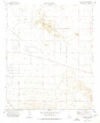
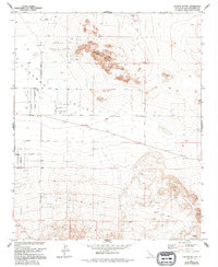
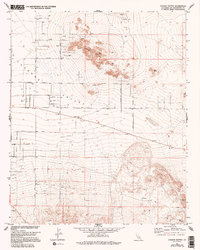
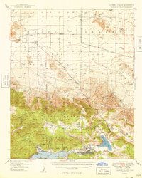
1971 Map of Cougar Buttes
USGS Topo · Published 1975About this map
Cougar Buttes and Negro Butte dominate this desert landscape within the Lucerne Valley during the early 1970s. The northern portion of the map reveals a unique celestial-themed street grid, with names like Comet Road, Mercury Road, Lunar Road, and Stellar Road suggesting a specific era of mid-century desert subdivision planning. This structured grid contrasts sharply with the southern reaches, where resource extraction is the primary footprint.
Find a feature on this map
38 named features on this map. Tap any name to fly to it.
Don’t see what you’re looking for? This feature index may not catch every label — zoom into the map to look around manually.
Map Details
Editions of this 1971 Cougar Buttes Map
3 editions found
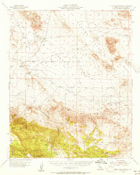
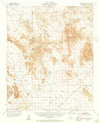
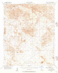
Other maps of this area

1901 · Southern California Sheet No. 1
USGS Topo · 1:250,000

1902 · San Gorgonio
USGS Topo · 1:125,000

1904 · Southern California Sheet No. 1
USGS Topo · 1:250,000
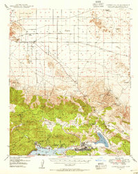
1947 · Lucerne Valley
USGS Topo · 1:62,500
1949 · Lucerne Valley
USGS Topo · 1:62,500

1953 · San Bernardino
USGS Topo · 1:250,000
1955 · Old Woman Springs
USGS Topo · 1:62,500
1955 · Ord Mountains
USGS Topo · 1:62,500
1955 · Rodman Mountains
USGS Topo · 1:62,500

1956 · San Bernardino
USGS Topo · 1:250,000