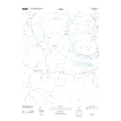
2013 Map of Counce
USGS Topo · Published 2013About this map
Kentucky Lake and the Tennessee River corridor dominate this landscape near the border of Tennessee and Mississippi. The area is defined by a dense network of river landings and industrial sites, including Griscoms Landing, Hamburg Landing, and Churchwell Landing. The settlement of Counce sits near the Tennessee River Pulp and Paper West Lake, reflecting the region's mid-century industrial development and the significant engineering of the river system.
Find a feature on this map
137 named features on this map. Tap any name to fly to it.
Don’t see what you’re looking for? This feature index may not catch every label — zoom into the map to look around manually.
Map Details
Editions of this 2013 Counce Map
This is the sole edition of this map. No revisions or reprints were ever made.
Other maps of this area

1911 · Iuka
USGS Topo · 1:48,000

1914 · Iuka
USGS Topo · 1:62,500

1935 · Doskie
USGS Topo · 1:24,000

1936 · Savannah
USGS Topo · 1:24,000

1936 · Counce
USGS Topo · 1:24,000

1936 · Kendrick
USGS Topo · 1:24,000

1936 · Shaws
USGS Topo · 1:24,000

1936 · Pickwick
USGS Topo · 1:24,000

1936 · Pittsburg Landing
USGS Topo · 1:24,000

1936 · Stantonville
USGS Topo · 1:24,000