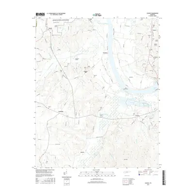
2016 Map of Counce
USGS Topo · Published 2016About this map
The Shiloh National Battlefield anchors the northern portion of this landscape, where landmarks like Fraley Field and Shiloh Br preserve the geography of the 1862 conflict. Moving south toward the communities of Counce and Southside, the terrain is defined by the winding course of Chambers Creek and the Tennessee River Pulp and Paper E Lake, illustrating the industrial developments that shaped the local economy.
Find a feature on this map
132 named features on this map. Tap any name to fly to it.
Don’t see what you’re looking for? This feature index may not catch every label — zoom into the map to look around manually.
Map Details
Editions of this 2016 Counce Map
This is the sole edition of this map. No revisions or reprints were ever made.
Other maps of this area

1911 · Iuka
USGS Topo · 1:48,000

1914 · Iuka
USGS Topo · 1:62,500

1935 · Doskie
USGS Topo · 1:24,000

1936 · Savannah
USGS Topo · 1:24,000

1936 · Counce
USGS Topo · 1:24,000

1936 · Kendrick
USGS Topo · 1:24,000

1936 · Shaws
USGS Topo · 1:24,000

1936 · Pickwick
USGS Topo · 1:24,000

1936 · Pittsburg Landing
USGS Topo · 1:24,000

1936 · Stantonville
USGS Topo · 1:24,000