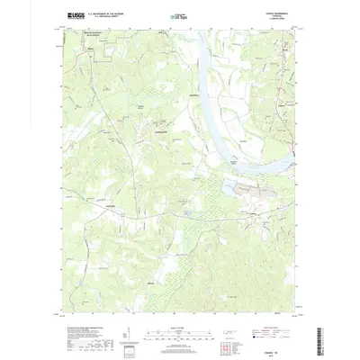
2019 Map of Counce
USGS Topo · Published 2019About this map
Shiloh National Battlefield occupies the northwestern corner of this Tennessee River landscape, preserving the site of the pivotal 1862 conflict. The terrain is defined by the broad sweep of the river as it flows past Hamburg and toward the Big Bend Shoals, where it widens into the waters of Kentucky Lake. The map reveals a dense network of local family history through numerous rural burial grounds such as Sugar Hill Cem, Beshears Cem, and Childers Hill Cem. The hydrological character of the region is evident in the managed drainage of the Lick Creek Canal and the natural winding paths of Chambers Creek and Robinson Cr. Settlements like Counce and Southside anchor the southern portion of the quadrangle, illustrating the transition from agricultural bottomlands like Hindman Bottom to the higher ridges and gaps that shape the local topography.
Find a feature on this map
132 named features on this map. Tap any name to fly to it.
Don’t see what you’re looking for? This feature index may not catch every label — zoom into the map to look around manually.
Map Details
Editions of this 2019 Counce Map
This is the sole edition of this map. No revisions or reprints were ever made.
Other maps of this area

1911 · Iuka
USGS Topo · 1:48,000

1914 · Iuka
USGS Topo · 1:62,500

1935 · Doskie
USGS Topo · 1:24,000

1936 · Savannah
USGS Topo · 1:24,000

1936 · Counce
USGS Topo · 1:24,000

1936 · Kendrick
USGS Topo · 1:24,000

1936 · Shaws
USGS Topo · 1:24,000

1936 · Pickwick
USGS Topo · 1:24,000

1936 · Pittsburg Landing
USGS Topo · 1:24,000

1936 · Stantonville
USGS Topo · 1:24,000