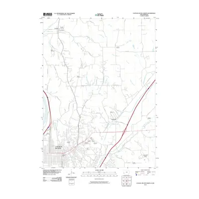
2010 Map of Council Bluffs North
USGS Topo · Published 2010About this map
Council Bluffs and its northern surroundings appear in detail during this 2010 survey, showcasing a landscape defined by the transition from urban density to rural farmland. The map documents numerous historical burial grounds essential for genealogical research, including Walnut Hill Cemetery, Saint Joseph Cemetery, and the Graybill Cemetery located near the eastern edge. Settlement patterns are visible along the corridor between Crescent and the city center, with smaller nodes like Chautauqua and Gilliatt flanking the regional infrastructure.
Find a feature on this map
72 named features on this map. Tap any name to fly to it.
Don’t see what you’re looking for? This feature index may not catch every label — zoom into the map to look around manually.
Map Details
Editions of this 2010 Council Bluffs North Map
This is the sole edition of this map. No revisions or reprints were ever made.
Other maps of this area

1893 · Omaha
USGS Topo · 1:62,500

1954 · Omaha
USGS Topo · 1:250,000

1956 · Underwood
USGS Topo · 1:24,000

1956 · Mineola
USGS Topo · 1:24,000

1956 · Council Bluffs North
USGS Topo · 1:24,000

1956 · Omaha North
USGS Topo · 1:24,000

1956 · Mc Clelland
USGS Topo · 1:24,000

1956 · Council Bluffs South
USGS Topo · 1:24,000

1956 · Omaha South
USGS Topo · 1:24,000

1957 · Omaha
USGS Topo · 1:250,000