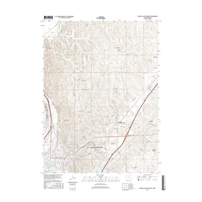
2015 Map of Council Bluffs North
USGS Topo · Published 2015About this map
Council Bluffs occupies the heart of this landscape, where the bluffs of the Missouri River valley meet the eastern upland drainage of Mosquito Creek. The urban footprint is dense with history and institutional landmarks, including the sprawling campus of Iowa Western Community Coll and the Council Bluffs Municipal Airport. The map documents a high concentration of burial grounds, such as Walnut Hill Cem, Saint Joseph Cem, and Fairview Cem, which often mark the earliest areas of settlement in Pottawattamie County.
Find a feature on this map
192 named features on this map. Tap any name to fly to it.
Don’t see what you’re looking for? This feature index may not catch every label — zoom into the map to look around manually.
Map Details
Editions of this 2015 Council Bluffs North Map
This is the sole edition of this map. No revisions or reprints were ever made.
Other maps of this area

1893 · Omaha
USGS Topo · 1:62,500

1954 · Omaha
USGS Topo · 1:250,000

1956 · Underwood
USGS Topo · 1:24,000

1956 · Mineola
USGS Topo · 1:24,000

1956 · Council Bluffs North
USGS Topo · 1:24,000

1956 · Omaha North
USGS Topo · 1:24,000

1956 · Mc Clelland
USGS Topo · 1:24,000

1956 · Council Bluffs South
USGS Topo · 1:24,000

1956 · Omaha South
USGS Topo · 1:24,000

1957 · Omaha
USGS Topo · 1:250,000