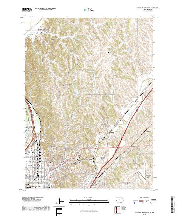
2022 Map of Council Bluffs North
USGS Topo · Published 2022About this map
The bluffs of the Missouri River shape the transition from the river bottom into the rolling loess hills north of Council Bluffs. This terrain is deeply etched by the drainage basins of Mosquito Creek, Pigeon Creek, and Indian Cr, where historical transportation corridors like the Railroad Hwy and Old Lincoln Hwy follow the natural topography. The map illustrates a dense concentration of civic and memorial sites, including the Pottawattamie County Courthouse and numerous burial grounds such as Saint Joseph Cem and Walnut Hill Cem.
Find a feature on this map
217 named features on this map. Tap any name to fly to it.
Don’t see what you’re looking for? This feature index may not catch every label — zoom into the map to look around manually.
Map Details
Editions of this 2022 Council Bluffs North Map
This is the sole edition of this map. No revisions or reprints were ever made.
Other maps of this area

1893 · Omaha
USGS Topo · 1:62,500

1954 · Omaha
USGS Topo · 1:250,000

1956 · Underwood
USGS Topo · 1:24,000

1956 · Mineola
USGS Topo · 1:24,000

1956 · Council Bluffs North
USGS Topo · 1:24,000

1956 · Omaha North
USGS Topo · 1:24,000

1956 · Mc Clelland
USGS Topo · 1:24,000

1956 · Council Bluffs South
USGS Topo · 1:24,000

1956 · Omaha South
USGS Topo · 1:24,000

1957 · Omaha
USGS Topo · 1:250,000