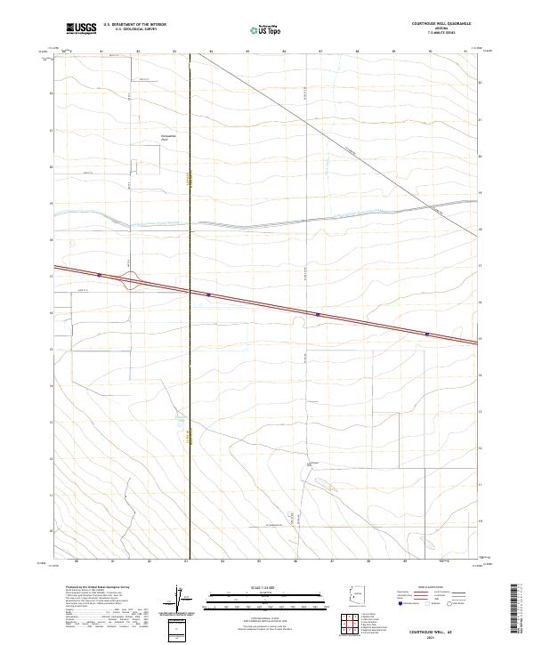
2021 Map of Courthouse Well
USGS Topo · Published 2021About this map
Modern infrastructure cuts across the arid landscape of the Harquahala Plain, where the massive concrete channel of the Central Arizona Project Aqueduct moves water through the desert. This engineering feat dominates the northern half of the region, running parallel to the older utility of Salome Rd and the drainage patterns of Tiger Wash. The map reveals the intersection of mid-twentieth-century water management with the traditional public land survey system, showing how the linear geometry of the aqueduct and Interstate 10 contrasts with the natural topography of the basin. This area represents a critical corridor for Arizona's resource distribution, where major transportation and water arteries converge to support the state's growth far beyond its urban centers.
Find a feature on this map
2 named features on this map. Tap any name to fly to it.
Don’t see what you’re looking for? This feature index may not catch every label — zoom into the map to look around manually.
Map Details
Editions of this 2021 Courthouse Well Map
This is the sole edition of this map. No revisions or reprints were ever made.
Other maps of this area

1942 · Vicksburg
USGS Topo · 1:250,000

1954 · Phoenix
USGS Topo · 1:250,000

1957 · Phoenix
USGS Topo · 1:250,000

1958 · Phoenix
USGS Topo · 1:250,000

1960 · Phoenix
USGS Topo · 1:250,000

1961 · Lone Mountain
USGS Topo · 1:62,500

1961 · Big Horn Mts
USGS Topo · 1:62,500

1962 · Cortez Peak
USGS Topo · 1:62,500

1962 · Eagletail Mts
USGS Topo · 1:62,500

1969 · Phoenix
USGS Topo · 1:250,000