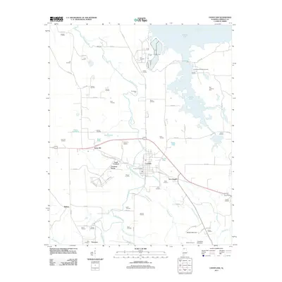
2011 Map of Courtland
USGS Topo · Published 2011About this map
Courtland and its surrounding agricultural landscape are defined by the winding course of Big Nance Creek as it flows north toward the wide expanse of Wheeler Lake on the Tennessee River. This 2011 survey reveals a deeply rooted rural community in Lawrence County, where small settlements like Terry Heights, North Courtland, and the historic enclave of Sherrod Quarters dot the countryside. The map is particularly rich in genealogical data, preserving the locations of numerous family and community burial grounds including the Houston Cemetery, Truitt Cemetery, and the Andrew Garth Memorial Cemetery.
Find a feature on this map
84 named features on this map. Tap any name to fly to it.
Don’t see what you’re looking for? This feature index may not catch every label — zoom into the map to look around manually.
Map Details
Editions of this 2011 Courtland Map
This is the sole edition of this map. No revisions or reprints were ever made.
Other maps of this area

1914 · Rogersville
USGS Topo · 1:48,000

1916 · Rogersville
USGS Topo · 1:62,500

1936 · Caddo
USGS Topo · 1:24,000

1936 · Thorntontown
USGS Topo · 1:24,000

1936 · Courtland
USGS Topo · 1:24,000

1936 · Hillsboro
USGS Topo · 1:24,000

1936 · Wheeler Dam
USGS Topo · 1:24,000

1936 · Town Creek
USGS Topo · 1:24,000

1936 · Cairo
USGS Topo · 1:24,000

1936 · Masterson
USGS Topo · 1:24,000