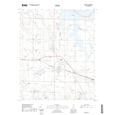
2018 Map of Courtland
USGS Topo · Published 2018About this map
Courtland and North Courtland serve as the focal points of this Lawrence County landscape, situated just south of the expansive waters of Wheeler Lake. The area's agricultural and rural heritage is evident in the high density of family burial grounds, such as Andrew Garth Memorial Cem, Sherrod Cem, and Byrd Cem, which dot the terrain between Big Nance Creek and its various tributaries. This network of waterways, including Sulphur Spring Br and Sandy Br, once defined the early settlement patterns of the region.
Find a feature on this map
100 named features on this map. Tap any name to fly to it.
Don’t see what you’re looking for? This feature index may not catch every label — zoom into the map to look around manually.
Map Details
Editions of this 2018 Courtland Map
This is the sole edition of this map. No revisions or reprints were ever made.
Other maps of this area

1914 · Rogersville
USGS Topo · 1:48,000

1916 · Rogersville
USGS Topo · 1:62,500

1936 · Caddo
USGS Topo · 1:24,000

1936 · Thorntontown
USGS Topo · 1:24,000

1936 · Courtland
USGS Topo · 1:24,000

1936 · Hillsboro
USGS Topo · 1:24,000

1936 · Wheeler Dam
USGS Topo · 1:24,000

1936 · Town Creek
USGS Topo · 1:24,000

1936 · Cairo
USGS Topo · 1:24,000

1936 · Masterson
USGS Topo · 1:24,000