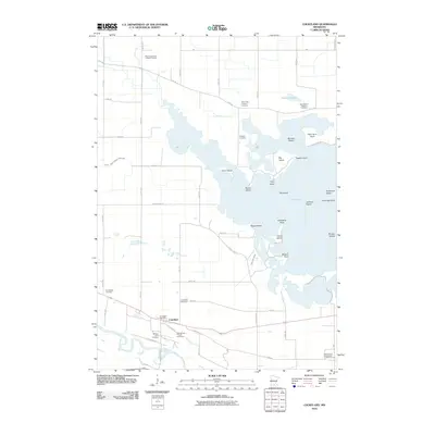
2010 Map of Courtland
USGS Topo · Published 2010About this map
Swan Lake dominates the central landscape of this Nicollet County region, its complex shoreline defined by numerous named points and islands such as Big Island, Heyer Island, and Monson Island. The settlement of Courtland sits near the southern edge of the quadrangle, positioned between the Minnesota River and the lake. This area is a significant site for genealogical research, containing a high density of small burial grounds including the Fechner Farm Cemetery and Zimmerman Private Cemetery, as well as established congregational sites like the Swan Lake Lutheran Cemetery.
Find a feature on this map
60 named features on this map. Tap any name to fly to it.
Don’t see what you’re looking for? This feature index may not catch every label — zoom into the map to look around manually.
Map Details
Editions of this 2010 Courtland Map
This is the sole edition of this map. No revisions or reprints were ever made.
Other maps of this area

1951 · Mankato West
USGS Topo · 1:62,500

1953 · New Ulm
USGS Topo · 1:250,000

1957 · New Ulm
USGS Topo · 1:250,000

1958 · New Ulm
USGS Topo · 1:250,000

1964 · Bernadotte
USGS Topo · 1:24,000

1964 · New Ulm
USGS Topo · 1:24,000

1964 · Courtland
USGS Topo · 1:24,000

1964 · Lafayette
USGS Topo · 1:24,000

1965 · Hanska
USGS Topo · 1:24,000

1965 · New Sweden
USGS Topo · 1:24,000