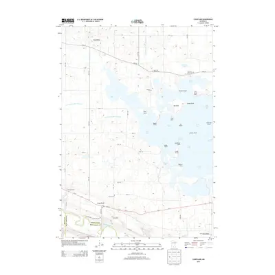
2013 Map of Courtland
USGS Topo · Published 2013About this map
Courtland sits at the intersection of Us-14 and Co Hwy 24, overlooking the fertile valley where the Minnesota River forms the southern boundary of Nicollet County. This landscape is defined by the complex hydrology of Swan Lake, a large, island-dotted water body with numerous named points and bays such as Gieseke Bay, Nelson Point, and Monson Island. The map reveals a high density of rural cemeteries and denominational landmarks, including the Zion Evangelical Lutheran Church and the Saint Mary's Catholic Cem.
Find a feature on this map
63 named features on this map. Tap any name to fly to it.
Don’t see what you’re looking for? This feature index may not catch every label — zoom into the map to look around manually.
Map Details
Editions of this 2013 Courtland Map
This is the sole edition of this map. No revisions or reprints were ever made.
Other maps of this area

1951 · Mankato West
USGS Topo · 1:62,500

1953 · New Ulm
USGS Topo · 1:250,000

1957 · New Ulm
USGS Topo · 1:250,000

1958 · New Ulm
USGS Topo · 1:250,000

1964 · Bernadotte
USGS Topo · 1:24,000

1964 · New Ulm
USGS Topo · 1:24,000

1964 · Courtland
USGS Topo · 1:24,000

1964 · Lafayette
USGS Topo · 1:24,000

1965 · Hanska
USGS Topo · 1:24,000

1965 · New Sweden
USGS Topo · 1:24,000