2022 Map of Courtland
USGS Topo · Published 2022About this map
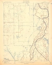
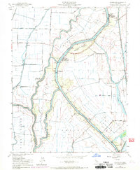
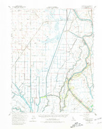
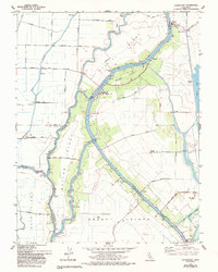
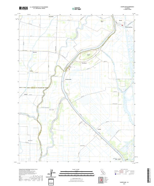
Sacramento River irrigation and the complex hydraulics of the California Delta define this landscape south of the state capital. The map illustrates a network of intricate waterways, including Steamboat Slough, Sutter Slough, and Elk Slough, which weave around substantial landmasses like Grand Island and Sutter Island. These islands, protected by an extensive levee system, support a series of riverside settlements that grew around the region's agricultural and maritime trade.
Find a feature on this map
69 named features on this map. Tap any name to fly to it.
Don’t see what you’re looking for? This feature index may not catch every label — zoom into the map to look around manually.
Map Details
Editions of this 2022 Courtland Map
This is the sole edition of this map. No revisions or reprints were ever made.
Historical Maps of Valdez Through Time
5 maps found