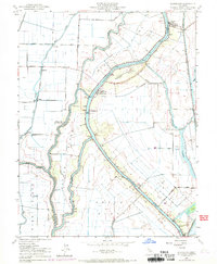
1952 Map of Courtland
USGS Topo · Published 1969About this map
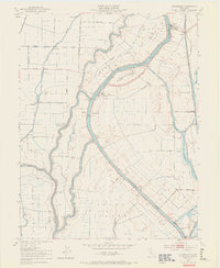
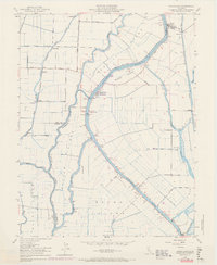
The Sacramento River defines the heart of this agricultural landscape, winding between a series of named islands and sloughs that shaped the delta's development. This mid-century survey reveals a intricate network of levees protecting Merritt Island, Sutter Island, and Grand Island, where the economy relied on both the river and rail lines. The Southern Pacific and Northern Sacramento RR served riverside communities like Hood, Paintersville, and Locke. Small settlements such as Vorden and Sorroca appear alongside numerous pump houses, reflecting the intensive water management required to farm these fertile basins. The mapping also captures the transition between Yolo and Sacramento counties, with purple photorevised updates from the late 1960s showing subtle changes in the roads and structures near Courtland.
Find a feature on this map
40 named features on this map. Tap any name to fly to it.
Don’t see what you’re looking for? This feature index may not catch every label — zoom into the map to look around manually.
Map Details
Editions of this 1952 Courtland Map
6 editions found
Other maps of this area

1894 · Lodi
USGS Topo · 1:125,000

1908 · Courtland
USGS Topo · 1:62,500

1909 · Florin
USGS Topo · 1:31,680

1910 · New Hope
USGS Topo · 1:31,680

1910 · Rio Vista
USGS Topo · 1:31,680

1910 · Bruceville
USGS Topo · 1:31,680

1910 · Isleton
USGS Topo · 1:31,680

1916 · Cache Slough
USGS Topo · 1:31,680

1916 · Vorden
USGS Topo · 1:31,680
1916 · Babel Slough
USGS Topo · 1:31,680