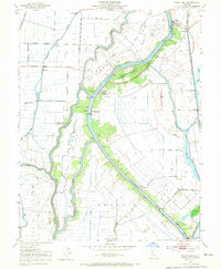
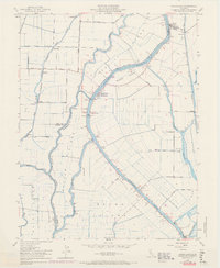
1952 Map of Courtland
USGS Topo · Published 1965About this map
The Sacramento River carves a deep commercial and agricultural path through this California delta landscape, where intricate levee systems like the Netherlands Levee protect productive island tracts. Central to the region is Courtland, a hub defined by its proximity to the water and the complex network of distributaries including Sutter Slough and Steamboat Slough. The map reveals the critical infrastructure of the early 1950s, from the Southern Pacific rail line running near Stone Lake to the various pumps and tide gages required to manage the low-lying terrain of Grand Island and Merritt Island. Small riverfront settlements like Locke and Paintersville are visible, reflecting the historic reliance on the river for transport and trade. This survey, based on aerial photography from 1931 and remapped in 1952, documents the era before massive modern water projects further altered the delta's natural hydrology.
Find a feature on this map
42 named features on this map. Tap any name to fly to it.
Don’t see what you’re looking for? This feature index may not catch every label — zoom into the map to look around manually.
Map Details
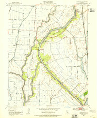
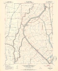
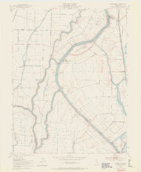
Editions of this 1952 Courtland Map
6 editions found
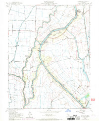
Other maps of this area

1894 · Lodi
USGS Topo · 1:125,000

1908 · Courtland
USGS Topo · 1:62,500

1909 · Florin
USGS Topo · 1:31,680

1910 · New Hope
USGS Topo · 1:31,680

1910 · Rio Vista
USGS Topo · 1:31,680

1910 · Bruceville
USGS Topo · 1:31,680

1910 · Isleton
USGS Topo · 1:31,680

1916 · Cache Slough
USGS Topo · 1:31,680

1916 · Vorden
USGS Topo · 1:31,680
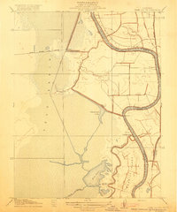
1916 · Babel Slough
USGS Topo · 1:31,680