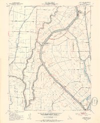
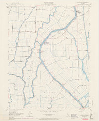
1952 Map of Courtland
USGS Topo · Published 1953About this map
Merritt Island and Randall Island sit at the heart of this fertile Delta landscape, where the Sacramento River and its labyrinth of waterways dictate the pattern of settlement. The river is the primary artery for the region, supported by a system of levees and infrastructure like the Swing Bridge near Courtland and the Drawbridge at Paintersville. This early 1950s environment shows a transition between traditional river-based transport and the established rail network of the Southern Pacific railroad, which skirts the eastern edge of the quadrangle. Small agricultural landings and river towns such as Locke, Hood, and Vorden punctuate the banks, reflecting the intense cultivation of the rich bottomlands. Inland, the straight lines of Courtland Road and Valdez Road cut across the low-lying terrain, connecting isolated settlements like Sorroca and Silverdale to the vital river docks.
Find a feature on this map
38 named features on this map. Tap any name to fly to it.
Don’t see what you’re looking for? This feature index may not catch every label — zoom into the map to look around manually.
Map Details
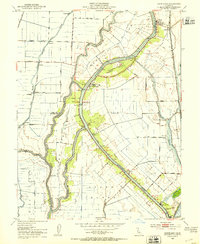
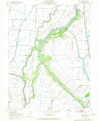
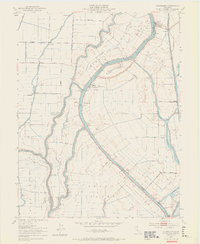
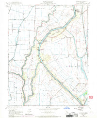
Editions of this 1952 Courtland Map
6 editions found
Other maps of this area

1894 · Lodi
USGS Topo · 1:125,000

1908 · Courtland
USGS Topo · 1:62,500

1909 · Florin
USGS Topo · 1:31,680

1910 · New Hope
USGS Topo · 1:31,680

1910 · Rio Vista
USGS Topo · 1:31,680

1910 · Bruceville
USGS Topo · 1:31,680

1910 · Isleton
USGS Topo · 1:31,680

1916 · Cache Slough
USGS Topo · 1:31,680

1916 · Vorden
USGS Topo · 1:31,680
1916 · Babel Slough
USGS Topo · 1:31,680