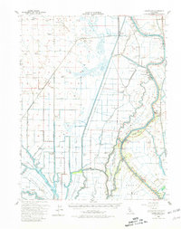
1952 Map of Courtland
USGS Topo · Published 1981About this map
The Sacramento River carves a winding path through this 1952 study of the Delta, defining a landscape of reclaimed islands and agricultural tracts. This era shows the intricate water management of the region, where the West Cut and Main Canal support vast farming operations across Merritt Island and Grand Island. Small riverside settlements like Courtland and Clarksburg serve as local hubs, while the tracks of the Northern Electric RR and Southern Pacific underscore the importance of rail transport for moving the region's produce.
Find a feature on this map
93 named features on this map. Tap any name to fly to it.
Don’t see what you’re looking for? This feature index may not catch every label — zoom into the map to look around manually.
Map Details
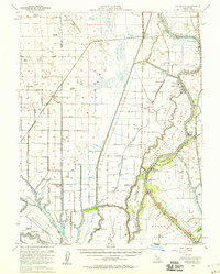
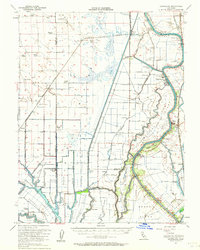
Editions of this 1952 Courtland Map
3 editions found
Other maps of this area

1891 · Sacramento
USGS Topo · 1:125,000

1892 · Sacramento
USGS Topo · 1:125,000

1893 · Sacramento
USGS Topo · 1:125,000

1894 · Lodi
USGS Topo · 1:125,000

1902 · Fairoaks
USGS Topo · 1:62,500

1907 · Woodland
USGS Topo · 1:62,500

1907 · Davisville
USGS Topo · 1:62,500

1907 · Antioch
USGS Topo · 1:62,500

1908 · Vacaville
USGS Topo · 1:62,500

1908 · Courtland
USGS Topo · 1:62,500