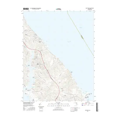
2016 Map of Cove Point
USGS Topo · Published 2016About this map
Cove Point Beach and the dramatic shoreline of Calvert Cliffs define this stretch of the western Chesapeake Bay, where the peninsula narrows between the bay and the deep tidal reaches of Saint Leonard Cr. This landscape is characterized by a high concentration of small coves and branches, such as Hellen Cr and Saint Paul Br, which dictated the early settlement patterns and road networks. The interior reveals established communities like Lusby and St. Leonard connected by Solomons Island Rd S, while more secluded spots like Bertha and Sollers sit tucked away near the water. For the local historian, the map preserves the locations of significant burial grounds including Middleham Cem and Saint Pauls Cem, alongside maritime and aviation features like Mears Creek Airfield and the Cove Point Marsh.
Find a feature on this map
98 named features on this map. Tap any name to fly to it.
Don’t see what you’re looking for? This feature index may not catch every label — zoom into the map to look around manually.
Map Details
Editions of this 2016 Cove Point Map
This is the sole edition of this map. No revisions or reprints were ever made.
Other maps of this area

1892 · Leonardtown
USGS Topo · 1:62,500

1892 · Drum Point
USGS Topo · 1:62,500

1892 · Prince Frederick
USGS Topo · 1:62,500

1893 · Sharps Island
USGS Topo · 1:62,500

1895 · Prince Frederick
USGS Topo · 1:62,500

1895 · Leonardtown
USGS Topo · 1:62,500

1895 · Nomini
USGS Topo · 1:125,000

1898 · Choptank
USGS Topo · 1:125,000

1898 · Nomini
USGS Topo · 1:125,000

1898 · St. Marys
USGS Topo · 1:125,000