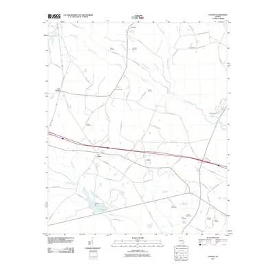
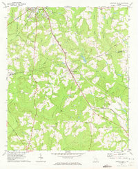
2011 Map of Covena
USGS Topo · Published 2011About this map
The Ohoopee River and its network of tributaries, including the Little Ohoopee River and Covena Branch, define this stretch of Treutlen County. The settlement at Covena serves as a northern anchor, while the rural landscape to the south is dotted with established family burying grounds such as Wilkes Cemetery, Herrington Cemetery, and Holton Cemetery. This geographic record captures a traditional agrarian pattern of Georgia’s coastal plain, where communities often coalesced around key crossroads like Five Points or water sources like Gillis Springs.
Find a feature on this map
75 named features on this map. Tap any name to fly to it.
Don’t see what you’re looking for? This feature index may not catch every label — zoom into the map to look around manually.
Map Details
Editions of this 2011 Covena Map
This is the sole edition of this map. No revisions or reprints were ever made.
Other maps of this area

1957 · Macon
USGS Topo · 1:250,000

1958 · Macon
USGS Topo · 1:250,000
1964 · Macon
USGS Topo · 1:250,000
1970 · Oak Park SW
USGS Topo · 1:24,000
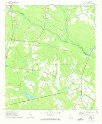
1970 · Covena
USGS Topo · 1:24,000
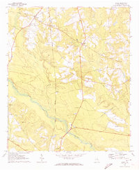
1970 · Nunez
USGS Topo · 1:24,000
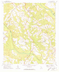
1970 · Oak Park
USGS Topo · 1:24,000
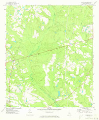
1971 · Norristown
USGS Topo · 1:24,000
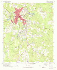
1971 · Swainsboro
USGS Topo · 1:24,000
1971 · Soperton South
USGS Topo · 1:24,000