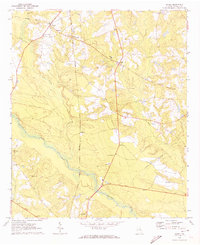
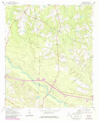
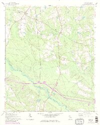
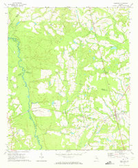
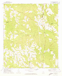
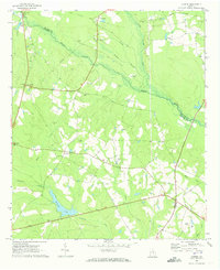
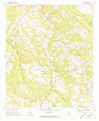
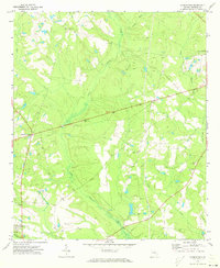
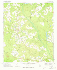
1970 Map of Nunez
USGS Topo · Published 1973About this map
The Ohoopee River and its swampy lowlands define the southern reaches of this Emanuel County landscape, where the Central of Georgia rail line cuts a vertical path through the terrain. In the north, the settlement of Nunez sits along an Old Railroad Grade, signaling shifts in the local transportation network by the early 1970s. The area is dotted with small rural communities like Wesley, Lexsy, and Lombard, each serving as focal points for local agricultural life.
Find a feature on this map
22 named features on this map. Tap any name to fly to it.
Don’t see what you’re looking for? This feature index may not catch every label — zoom into the map to look around manually.
Map Details
Editions of this 1970 Nunez Map
3 editions found
Other maps of this area

1957 · Macon
USGS Topo · 1:250,000

1958 · Macon
USGS Topo · 1:250,000

1964 · Macon
USGS Topo · 1:250,000
1970 · Cobbtown
USGS Topo · 1:24,000
1970 · Oak Park SW
USGS Topo · 1:24,000
1970 · Covena
USGS Topo · 1:24,000
1970 · Oak Park
USGS Topo · 1:24,000
1971 · Norristown
USGS Topo · 1:24,000
1971 · Stillmore
USGS Topo · 1:24,000
1971 · Swainsboro
USGS Topo · 1:24,000