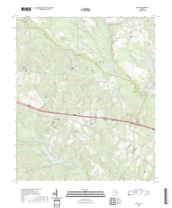
2024 Map of Covena
USGS Topo · Published 2024About this map
The Ohoopee River and Little Ohoopee River converge amidst a landscape of timbered creek bottoms and small agricultural communities on the border of Emanuel and Treutlen Counties. This modern survey illustrates a rural corridor anchored by the settlement of Covena in the north and Five Points to the south. The area maintains a high density of small family burial grounds, such as Wilkes Cem, Herrington Cem, and Moore Cem, which serve as critical markers for genealogical research in this part of Georgia.
Find a feature on this map
85 named features on this map. Tap any name to fly to it.
Don’t see what you’re looking for? This feature index may not catch every label — zoom into the map to look around manually.
Map Details
Editions of this 2024 Covena Map
This is the sole edition of this map. No revisions or reprints were ever made.
Other maps of this area

1957 · Macon
USGS Topo · 1:250,000

1958 · Macon
USGS Topo · 1:250,000

1964 · Macon
USGS Topo · 1:250,000

1970 · Oak Park SW
USGS Topo · 1:24,000

1970 · Covena
USGS Topo · 1:24,000

1970 · Nunez
USGS Topo · 1:24,000

1970 · Oak Park
USGS Topo · 1:24,000

1971 · Norristown
USGS Topo · 1:24,000

1971 · Swainsboro
USGS Topo · 1:24,000

1971 · Soperton South
USGS Topo · 1:24,000