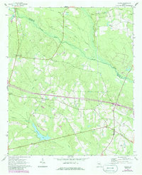
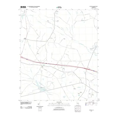
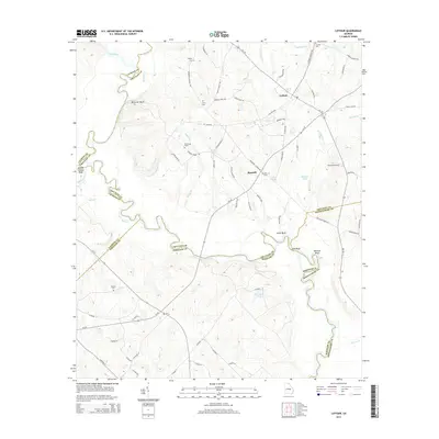
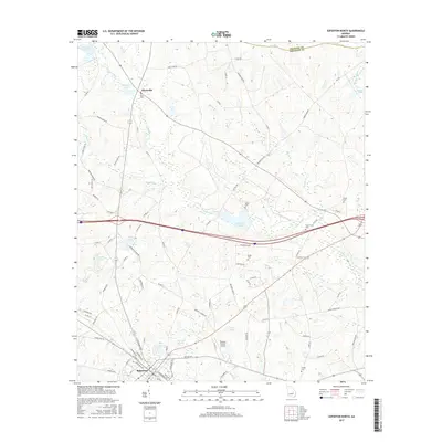
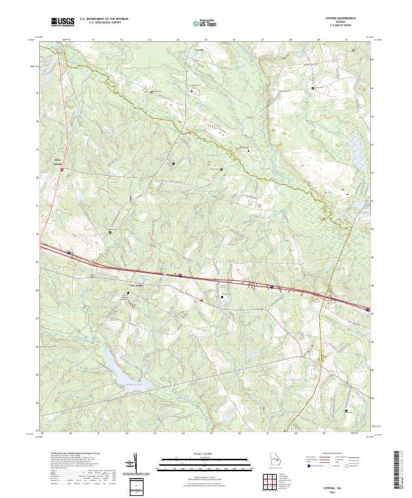
1970 Map of Covena
USGS Topo · Published 1986About this map
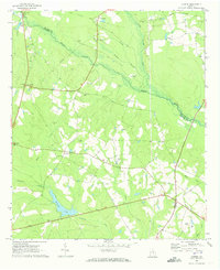
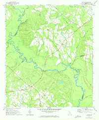
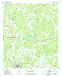
The Ohoopee River and Little Ohoopee River converge in this agricultural region of South Georgia during the early 1970s. The landscape is defined by its small community centers and an extensive network of rural churches and family cemeteries, including Thigpen Chapel near Norristown and Holton Chapel further south. The presence of an Old Railroad Grade running through Covena and past Moore Cem indicates the area's historical reliance on rail transport, while several named springs and branches, such as Spring Branch and Reed Creek, suggest the importance of local water sources to the settlement pattern.
Find a feature on this map
33 named features on this map. Tap any name to fly to it.
Don’t see what you’re looking for? This feature index may not catch every label — zoom into the map to look around manually.
Map Details
Editions of this 1970 Covena Map
2 editions found
Historical Maps of Five Points Through Time
18 maps found
1970 Covena
Treutlen County, GA
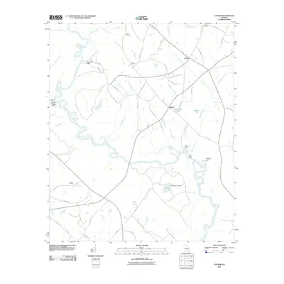
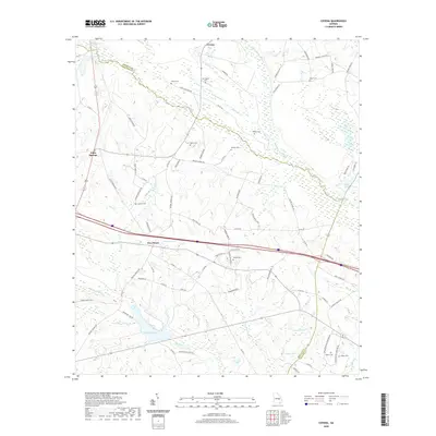
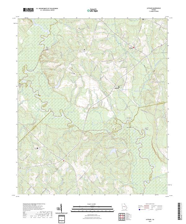
1971 Lothair
Treutlen County, GA
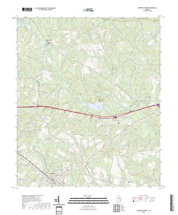
1971 Soperton North
Treutlen County, GA
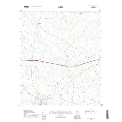
2011 Covena
Treutlen County, GA
2011 Lothair
Treutlen County, GA
2011 Soperton North
Treutlen County, GA
2014 Covena
Treutlen County, GA
2014 Lothair
Treutlen County, GA
2014 Soperton North
Treutlen County, GA
2017 Covena
Treutlen County, GA
2017 Lothair
Treutlen County, GA
2017 Soperton North
Treutlen County, GA
2020 Covena
Treutlen County, GA
2020 Lothair
Treutlen County, GA
2020 Soperton North
Treutlen County, GA
2024 Covena
Treutlen County, GA
2024 Lothair
Treutlen County, GA
2024 Soperton North
Treutlen County, GA