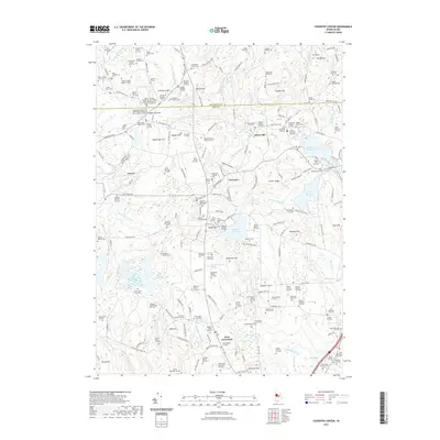
2021 Map of Coventry Center
USGS Topo · Published 2021About this map
Flat River Reservoir and the winding Flat River dominate the central landscape of this Kent County region, reflecting a long history of water management for local mills and industry. The area is exceptionally dense with family burial grounds and historical markers, such as the Doctor Thomas Carpenter Lot and the Carpenter - Bowen Lot, which provide critical touchstones for genealogists tracing early settlers.
Find a feature on this map
182 named features on this map. Tap any name to fly to it.
Don’t see what you’re looking for? This feature index may not catch every label — zoom into the map to look around manually.
Map Details
Editions of this 2021 Coventry Center Map
This is the sole edition of this map. No revisions or reprints were ever made.
Other maps of this area

1889 · Putnam
USGS Topo · 1:62,500

1889 · Burrillville
USGS Topo · 1:62,500

1889 · Moosup
USGS Topo · 1:62,500

1890 · Kent
USGS Topo · 1:62,500

1893 · Putnam
USGS Topo · 1:62,500

1893 · Moosup
USGS Topo · 1:62,500

1894 · Burrillville
USGS Topo · 1:62,500

1894 · Kent
USGS Topo · 1:62,500

1915 · Burrillville
USGS Topo · 1:62,500

1919 · Putnam
USGS Topo · 1:62,500