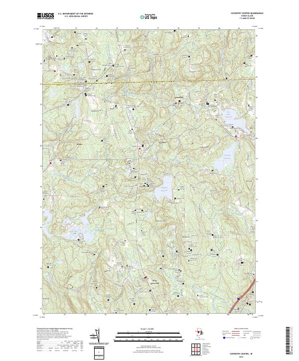
2024 Map of Coventry Center
USGS Topo · Published 2024About this map
Greene and Potterville anchor this western Rhode Island landscape, where the headwaters of the Flat River and Quidnick Brook are managed through a series of significant impoundments including Flat River Reservoir, Coventry Reservoir, and Quidnick Reservoir. This modern survey reveals a dense network of family-named burial grounds and historical lots that define the rural character of Coventry and West Greenwich. Genealogists will find a remarkable concentration of documented sites such as the Lieutenant James Wells Lot, the Daniel Howard Lot, and the Doctor Thomas Carpenter Lot Rhode Island Historical Cem Foster Number 94. The terrain is marked by prominent elevations like Nipmuc Hill, Weaver Hill, and Mt Misery, while complex wetland systems like the Great Cedar Swamp and Cedar Swamp drain into the Nooseneck River and Breakheart Brook.
Find a feature on this map
183 named features on this map. Tap any name to fly to it.
Don’t see what you’re looking for? This feature index may not catch every label — zoom into the map to look around manually.
Map Details
Editions of this 2024 Coventry Center Map
This is the sole edition of this map. No revisions or reprints were ever made.
Other maps of this area

1889 · Putnam
USGS Topo · 1:62,500

1889 · Burrillville
USGS Topo · 1:62,500

1889 · Moosup
USGS Topo · 1:62,500

1890 · Kent
USGS Topo · 1:62,500

1893 · Putnam
USGS Topo · 1:62,500

1893 · Moosup
USGS Topo · 1:62,500

1894 · Burrillville
USGS Topo · 1:62,500

1894 · Kent
USGS Topo · 1:62,500

1915 · Burrillville
USGS Topo · 1:62,500

1919 · Putnam
USGS Topo · 1:62,500