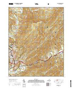
2019 Map of Covington
USGS Topo · Published 2019About this map
Covington sits at the heart of this Alleghany County landscape, where the Jackson River is joined by tributaries like Ponding Mill Cr and Harmon Run. The city is surrounded by distinct residential areas including Fairlawn, Rayon Terrace, and Parrish Court, reflecting the community's mid-century and modern growth patterns along the valley floor. The Alleghany County Courthouse serves as a central landmark within the urban grid, while the surrounding terrain is defined by the massive ridges of Fore Mtn and Horse Mtn.
Find a feature on this map
68 named features on this map. Tap any name to fly to it.
Don’t see what you’re looking for? This feature index may not catch every label — zoom into the map to look around manually.
Map Details
Editions of this 2019 Covington Map
This is the sole edition of this map. No revisions or reprints were ever made.
Other maps of this area

1887 · Lewisburg
USGS Topo · 1:125,000

1891 · Lewisburg
USGS Topo · 1:125,000

1894 · Natural Bridge
USGS Topo · 1:125,000

1913 · Eagle Rock
USGS Topo · 1:48,000

1915 · Eagle Rock
USGS Topo · 1:62,500

1921 · Callaghan
USGS Topo · 1:48,000

1923 · Callaghan
USGS Topo · 1:62,500

1929 · Falling Spring
USGS Topo · 1:24,000

1931 · Healing Springs
USGS Topo · 1:24,000

1932 · Falling Spring
USGS Topo · 1:31,680