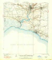
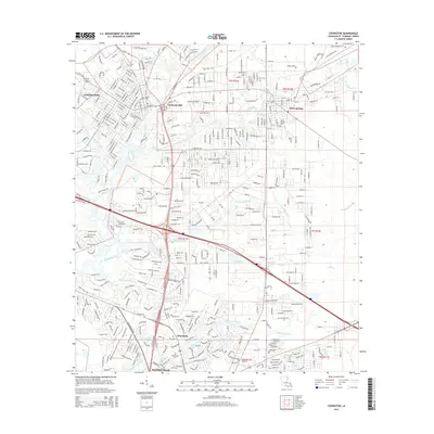
1935 Map of Covington
USGS Topo · Published 1951About this map
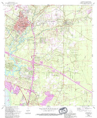
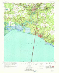
The Bogue Falaya River and Abita River converge at Covington, a central hub of activity along the northern shores of Lake Pontchartrain. This mid-century survey reveals a landscape of transition, where established towns like Abita Springs and Mandeville are connected by the Illinois Central RR. Along the Tchefuncta River, the settlement of Madisonville anchors the waterway, while the surrounding interior features smaller communities and rural institutions.
Find a feature on this map
36 named features on this map. Tap any name to fly to it.
Don’t see what you’re looking for? This feature index may not catch every label — zoom into the map to look around manually.
Map Details
Editions of this 1935 Covington Map
3 editions found

Historical Maps of Mandeville Through Time
11 maps found
1935 Covington
St. Tammany Parish, LA
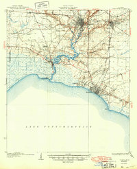
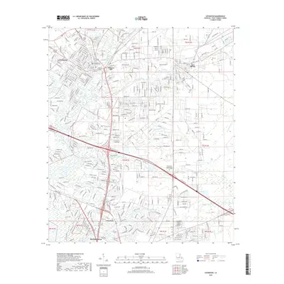
1939 Covington
St. Tammany Parish, LA
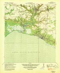
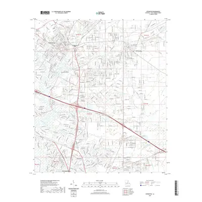
1950 Covington
St. Tammany Parish, LA
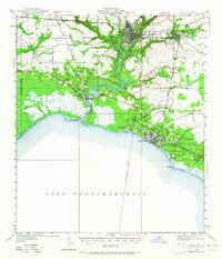
1968 Covington
St. Tammany Parish, LA
1969 Covington
St. Tammany Parish, LA
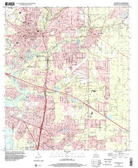
1998 Covington
St. Tammany Parish, LA
2012 Covington
St. Tammany Parish, LA
2015 Covington
St. Tammany Parish, LA
2018 Covington
St. Tammany Parish, LA
2020 Covington
St. Tammany Parish, LA
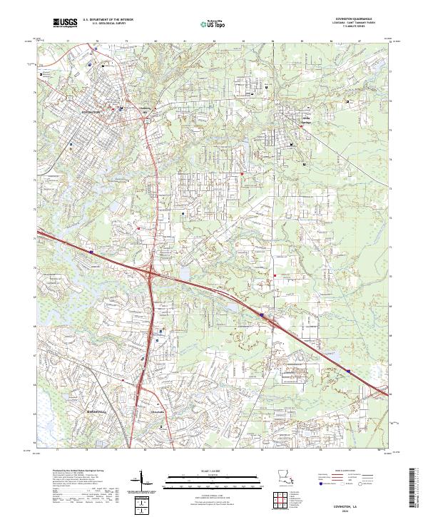
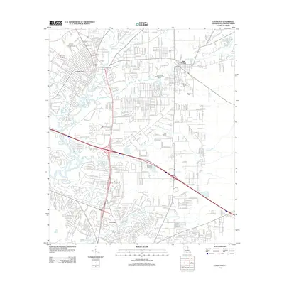
2024 Covington
St. Tammany Parish, LA