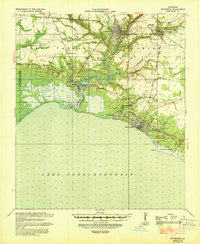
1939 Map of Covington
USGS Topo · Published 1939About this map
The Bogue Falaya River and Abita River converge at Covington, marking a significant late-1930s transport hub where waterborne trade met the Gulf Mobile and Northern railroad. This survey illustrates the transition from river navigation to terrestrial infrastructure, noting the Head of Navigation points while tracing an Old Grade and a new Grade Under Construction near Madisonville.
Find a feature on this map
47 named features on this map. Tap any name to fly to it.
Don’t see what you’re looking for? This feature index may not catch every label — zoom into the map to look around manually.
Map Details
Editions of this 1939 Covington Map
This is the sole edition of this map. No revisions or reprints were ever made.
Other maps of this area
1891 · Spanish Fort
USGS Topo · 1:62,500
1892 · Chef Menteur
USGS Topo · 1:62,500
1892 · Bonnet Carre
USGS Topo · 1:62,500
1935 · Slidell
USGS Topo · 1:62,500
1935 · Covington
USGS Topo · 1:62,500
1935 · Ponchatoula
USGS Topo · 1:62,500
1936 · South Point
USGS Topo · 1:31,680
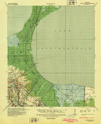
1936 · Bonnet Carre
USGS Topo · 1:62,500
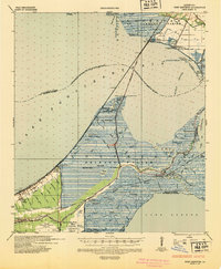
1936 · Chef Menteur
USGS Topo · 1:62,500
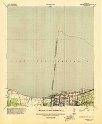
1936 · Spanish Fort
USGS Topo · 1:62,500