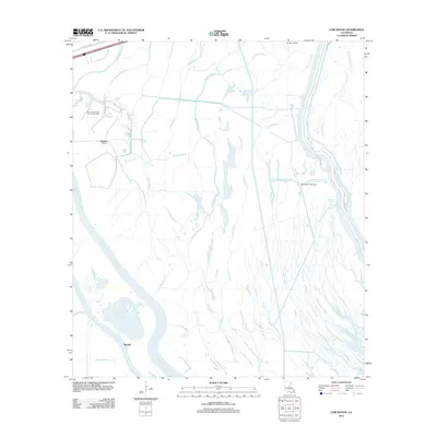
2012 Map of Cow Bayou
USGS Topo · Published 2012About this map
The low-lying wetlands of Saint Martin Parish define this 2012 survey, where the heavy industry of resource extraction meets an intricate network of southern bayous. Industrial footprints are prominent at the Klondike Oil Field and the Bayou Des Glaises Oil and Gas Field, indicating the economic drivers of this portion of the Atchafalaya Basin. The landscape is a maze of natural and engineered waterways, including the large Whisky Bay Pilot Channel and the Standard Canal, which facilitate both drainage and navigation through the swampy terrain near Rycade.
Find a feature on this map
25 named features on this map. Tap any name to fly to it.
Don’t see what you’re looking for? This feature index may not catch every label — zoom into the map to look around manually.
Map Details
Editions of this 2012 Cow Bayou Map
This is the sole edition of this map. No revisions or reprints were ever made.
Other maps of this area

1935 · Osca Bayou
USGS Topo · 1:62,500

1935 · Chicot Lake
USGS Topo · 1:62,500

1940 · Grosse Tete
USGS Topo · 1:62,500

1941 · Loreauville
USGS Topo · 1:62,500

1953 · Cow Bayou
USGS Topo · 1:24,000

1953 · Pigeon Bay
USGS Topo · 1:24,000

1953 · Maringouin
USGS Topo · 1:24,000

1953 · Grosse Tete SW
USGS Topo · 1:24,000

1954 · Chicot Lake
USGS Topo · 1:62,500

1954 · Loreauville
USGS Topo · 1:62,500