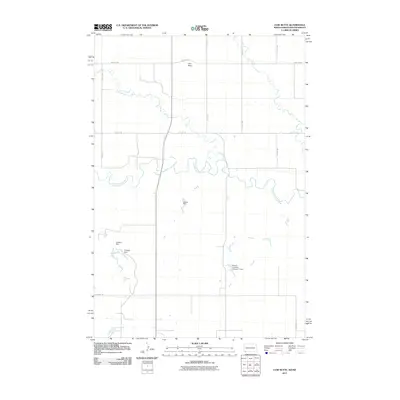
2011 Map of Cow Butte
USGS Topo · Published 2011About this map
The North Fork Grand River meanders across this rural borderland between North and South Dakota, defining a landscape shaped by persistent water management in a semi-arid environment. At the center of this 2011 survey, the Cow Butte landmark overlooks a network of drainage systems and small-scale reservoirs, including Schaur Dam and the curiously named Tadpole Dam. These features, along with Kermit- Johnson- Number 1 Dam, illustrate the critical role of private and small-scale hydraulic engineering for ranching or local agriculture in Harding County. The terrain is further etched by the winding paths of Lightning Creek and Horse Creek, while a rigid grid of rural routes such as White Hill Rd and Twin Twp Rd provides the only structure to this open, sparsely settled territory.
Find a feature on this map
16 named features on this map. Tap any name to fly to it.
Don’t see what you’re looking for? This feature index may not catch every label — zoom into the map to look around manually.
Map Details
Editions of this 2011 Cow Butte Map
This is the sole edition of this map. No revisions or reprints were ever made.
Other maps of this area

1935 · Reva
USGS Topo · 1:125,000

1953 · Dickinson
USGS Topo · 1:250,000

1954 · Lemmon
USGS Topo · 1:250,000

1957 · Dickinson
USGS Topo · 1:250,000

1957 · Lemmon
USGS Topo · 1:250,000

1968 · Haley
USGS Topo · 1:24,000

1968 · Ralph
USGS Topo · 1:24,000

1969 · Gascoyne
USGS Topo · 1:24,000

1969 · Reeder
USGS Topo · 1:24,000

1974 · Cow Butte
USGS Topo · 1:24,000