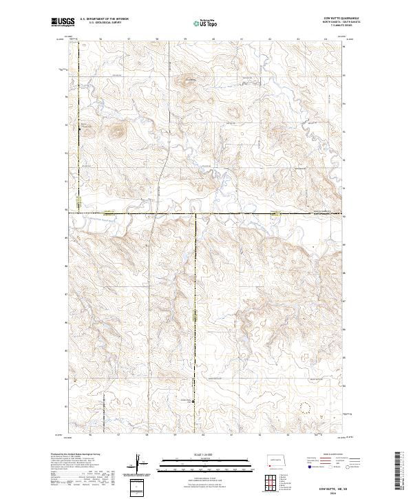
2024 Map of Cow Butte
USGS Topo · Published 2024About this map
Cow Butte rises as a prominent landmark in this prairie landscape, where the borders of North Dakota and South Dakota meet. The terrain is defined by the drainage of Lightning Creek and the meandering path of the North Fork Grand River, which crosses the state line. This rural area, spanning portions of Adams, Bowman, Harding, and Perkins counties, preserves evidence of early regional settlement through its scattered cemeteries. Mamre Lutheran Cem sits in the northwest quadrant, while Golden Valley Cem is located further south, serving as quiet reminders of the families who established homesteads across these townships. A network of section roads like 4th Ave SW and larger routes such as Hwy 22 S provide the primary structure for movement across this expansive ranching and farming country.
Find a feature on this map
21 named features on this map. Tap any name to fly to it.
Don’t see what you’re looking for? This feature index may not catch every label — zoom into the map to look around manually.
Map Details
Editions of this 2024 Cow Butte Map
This is the sole edition of this map. No revisions or reprints were ever made.
Other maps of this area

1935 · Reva
USGS Topo · 1:125,000

1953 · Dickinson
USGS Topo · 1:250,000

1954 · Lemmon
USGS Topo · 1:250,000

1957 · Dickinson
USGS Topo · 1:250,000

1957 · Lemmon
USGS Topo · 1:250,000

1968 · Haley
USGS Topo · 1:24,000

1968 · Ralph
USGS Topo · 1:24,000

1969 · Gascoyne
USGS Topo · 1:24,000

1969 · Reeder
USGS Topo · 1:24,000

1974 · Cow Butte
USGS Topo · 1:24,000