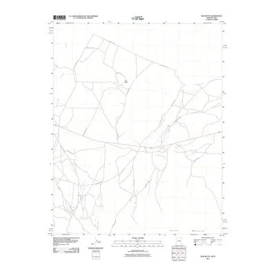
2011 Map of Cow Butte
USGS Topo · Published 2011About this map
Cow Butte stands as a prominent landmark in this high desert landscape along the border of Arizona and Utah. The geography is defined by a network of drainage channels including Toh Dahstini Wash, Dry Farm Wash, and Tsitah Wash, which cut through the arid terrain north of the Carrizo Mountains. This 2011 survey reveals an intricate system of Bureau of Indian Affairs and local routes, such as County Hwy-473 and Indian Rte-5060, which connect disparate grazing lands and homesteads. The lack of concentrated settlements underscores the traditional pastoral use of the Shiprock Agency lands, where road networks are dictated by the natural flow of the washes and the presence of landforms like the central butte.
Find a feature on this map
18 named features on this map. Tap any name to fly to it.
Don’t see what you’re looking for? This feature index may not catch every label — zoom into the map to look around manually.
Map Details
Editions of this 2011 Cow Butte Map
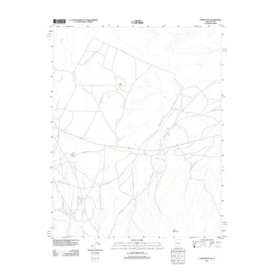
2 editions found
Other maps of this area

1886 · Abajo
USGS Topo · 1:250,000

1892 · Abajo
USGS Topo · 1:250,000

1892 · Canyon De Chelly
USGS Topo · 1:250,000

1893 · Abajo
USGS Topo · 1:250,000

1953 · Pastora Peak SW
USGS Topo · 1:24,000

1953 · Pastora Peak NW
USGS Topo · 1:24,000

1953 · Dinne Mesa NE
USGS Topo · 1:24,000

1953 · Pastora Peak NE
USGS Topo · 1:24,000

1953 · Dinne Mesa SE
USGS Topo · 1:24,000

1953 · Pastora Peak SE
USGS Topo · 1:24,000