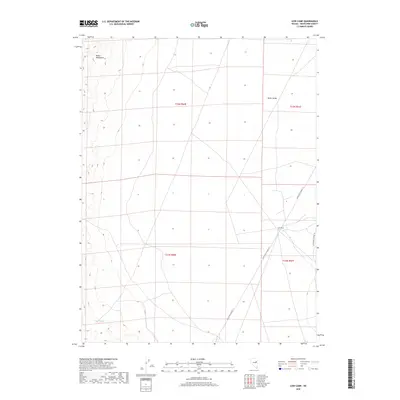
2018 Map of Cow Camp
USGS Topo · Published 2018About this map
Butte Valley dominates this high-desert terrain in White Pine County, showing the spatial organization of Nevada's ranching and transit corridors. The settlement of Cow Camp serves as a central junction where White Pine Co Road 17 and White Pine Co Road 19 converge, indicating the enduring importance of these remote routes for regional connectivity. To the west, the steep elevations of the Butte Mountains rise sharply from the valley floor, providing a natural barrier and a source of seasonal water at Butte Spring. This 2018 survey detail provides a modern look at historical land divisions, including the township and range lines for t23n r60e and t22n r61e, which illustrate how this arid landscape continues to be managed and navigated.
Find a feature on this map
10 named features on this map. Tap any name to fly to it.
Don’t see what you’re looking for? This feature index may not catch every label — zoom into the map to look around manually.
Map Details
Editions of this 2018 Cow Camp Map
This is the sole edition of this map. No revisions or reprints were ever made.
Other maps of this area

1956 · Ely
USGS Topo · 1:250,000

1959 · Ely
USGS Topo · 1:250,000
1962 · Hunter Point
USGS Topo · 1:24,000

1963 · Ely
USGS Topo · 1:250,000

1982 · Ninemile Well
USGS Topo · 1:24,000
1982 · Junction Well
USGS Topo · 1:24,000
1982 · Cabin Spring
USGS Topo · 1:24,000

1982 · White Sage Well
USGS Topo · 1:24,000
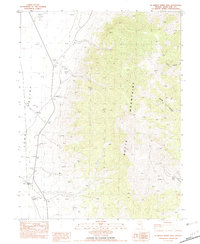
1982 · McBrides Sheep Well
USGS Topo · 1:24,000
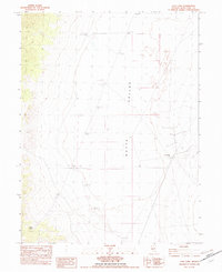
1982 · Cow Camp
USGS Topo · 1:24,000