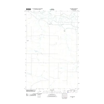
2011 Map of Cow Creek
USGS Topo · Published 2011About this map
The Milk River meanders across this northern Montana landscape, defining a corridor of riparian activity amidst a largely open prairie. Near Rocky Point, the river is paralleled by Montana Hwy 101 and the Dodson South Canal, illustrating the vital connection between water management and transportation in Phillips County. The terrain is marked by seasonal drainages and local landmarks such as Davison Coulee and the extensive North Fork Mud Creek system to the south.
Find a feature on this map
10 named features on this map. Tap any name to fly to it.
Don’t see what you’re looking for? This feature index may not catch every label — zoom into the map to look around manually.
Map Details
Editions of this 2011 Cow Creek Map
This is the sole edition of this map. No revisions or reprints were ever made.
Other maps of this area

1953 · Havre
USGS Topo · 1:250,000

1957 · Havre
USGS Topo · 1:250,000

1958 · Havre
USGS Topo · 1:250,000

1964 · Dodson NE
USGS Topo · 1:24,000

1964 · Coburg SE
USGS Topo · 1:24,000

1964 · Dodson
USGS Topo · 1:24,000

1964 · Cow Creek
USGS Topo · 1:24,000

1964 · Dodson Dam
USGS Topo · 1:24,000

1965 · Wagner
USGS Topo · 1:24,000

1965 · West Alkali Reservoir
USGS Topo · 1:24,000