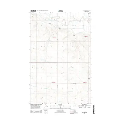
2014 Map of Cow Creek
USGS Topo · Published 2014About this map
The Milk River meanders through the northern reaches of this Phillips County landscape, defining the local irrigation and ranching infrastructure. Managed water flow is evident through the Dodson South Canal and the Point of Rocks Reservoir, which support the arid plains surrounding the river valley. The terrain is marked by distinctive drainage patterns, including Davison Coulee and Black Coulee, which cut through the high ground south of the river.
Find a feature on this map
18 named features on this map. Tap any name to fly to it.
Don’t see what you’re looking for? This feature index may not catch every label — zoom into the map to look around manually.
Map Details
Editions of this 2014 Cow Creek Map
This is the sole edition of this map. No revisions or reprints were ever made.
Other maps of this area

1953 · Havre
USGS Topo · 1:250,000

1957 · Havre
USGS Topo · 1:250,000

1958 · Havre
USGS Topo · 1:250,000

1964 · Dodson NE
USGS Topo · 1:24,000

1964 · Coburg SE
USGS Topo · 1:24,000

1964 · Dodson
USGS Topo · 1:24,000

1964 · Cow Creek
USGS Topo · 1:24,000

1964 · Dodson Dam
USGS Topo · 1:24,000

1965 · Wagner
USGS Topo · 1:24,000

1965 · West Alkali Reservoir
USGS Topo · 1:24,000