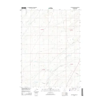
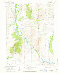
2015 Map of Cow Creek Ranch
USGS Topo · Published 2015About this map
Cow Creek Ranch and its surrounding high-plains landscape are defined by an intricate network of irrigation systems essential to Carbon County agriculture. This 2015 survey reveals how water is moved across the terrain via named engineering works such as Centennial Ditch, Nelson Ditch, and Pitson Ditch Number 1. These waterways, including the Walck Ditch and Waldron Ditch, follow the contours of the land to feed local operations near Cow Creek. Transportation through this working landscape is supported by a series of rural routes including Cow Creek Road and Silver Spur Ranch Road, which connect the ranching headquarters to the wider county. The presence of Anderson Reservoir underscores the vital role of water storage in this arid region of southern Wyoming.
Find a feature on this map
28 named features on this map. Tap any name to fly to it.
Don’t see what you’re looking for? This feature index may not catch every label — zoom into the map to look around manually.
Map Details
Editions of this 2015 Cow Creek Ranch Map
This is the sole edition of this map. No revisions or reprints were ever made.
Other maps of this area

1939 · Saratoga
USGS Topo · 1:125,000

1954 · Rawlins
USGS Topo · 1:250,000

1958 · Rawlins
USGS Topo · 1:250,000

1961 · Red Mountain
USGS Topo · 1:24,000
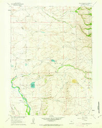
1961 · Finley Reservoir
USGS Topo · 1:24,000

1961 · Gunst Reservoir
USGS Topo · 1:24,000

1961 · Encampment
USGS Topo · 1:24,000
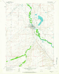
1961 · Saratoga
USGS Topo · 1:24,000
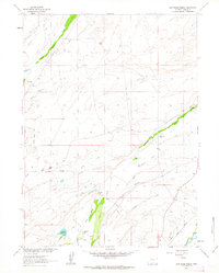
1961 · Cow Creek Ranch
USGS Topo · 1:24,000
1961 · Cow Creek
USGS Topo · 1:24,000